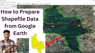
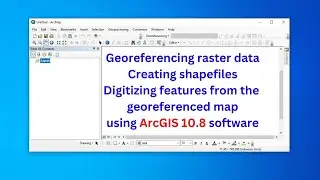
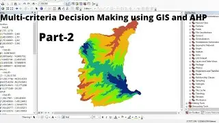
Georeferencing raster data, creating and editing features from the georeferenced/existing data
This video is to show you how to georeference raster data, create shapefiles, and edit or digitize features from the georeferenced map/existing map using ArcGIS 10.8 software
Other related video tutorials:
Georeferencing Raster Data using the Latest QGIS 3.2: • Georeferencing Raster Data using the ...
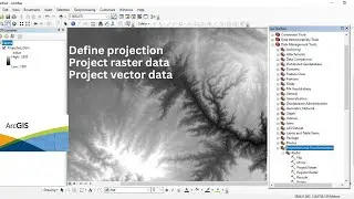
Define projection, and project raster and vector data using ArcGIS software: • Define projection, and project raster...


![How to Perform Land Suitability Evaluation: Step-by-Step Tutorial [Full]](https://images.mixrolikus.cc/video/IEuV2VT4RzQ)