4 тысяч подписчиков
51 видео
NDVI Computation using ERDAS IMAGINE 2014 from Landsat 8 Remotely Sensed Data
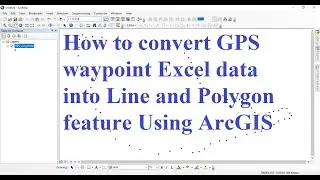
How to convert GPS waypoint Excel data into Line and Polygon feature Using ArcGIS
How to Create and Digitize Point, Line, and Polygon Shapefile Layers Using QGIS Software
Define projection, and project raster and vector data using ArcGIS software
How to Clip Multiple Shapefile Layers at Once using QGIS 3.24 and ArcGIS 10.8 Software
How to calculate field values in attribute table for point, line and polygon shapefiles using QGIS
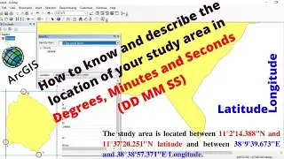
How to know the location of your study area in Degrees, Minutes and Seconds (DD MM SS) using ArcMap
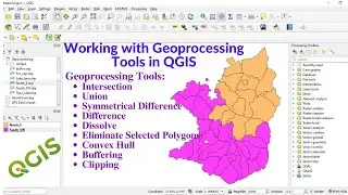
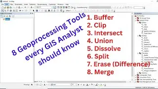
Working with Geoprocessing Tools in QGIS
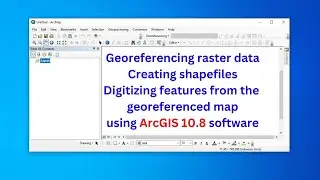
Georeferencing raster data, creating and editing features from the georeferenced/existing data
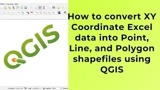
How to convert XY Coordinate Excel data into Point, Line and Polygon shapefiles using QGIS
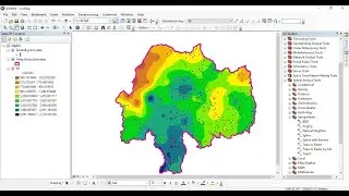
Spatial Interpolation (IDW and Kriging) using ArcGIS software
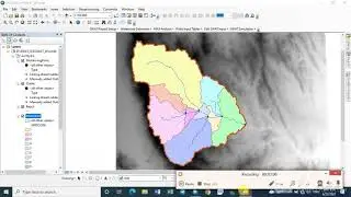
Watershed Delineation using ArcSWAT Extension of ArcGIS from DEM data: very short and easy
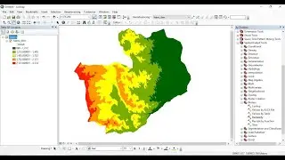
Raster data reclassification and area calculation for each class using ArcGIS software
GEOSPATIAL TOOLS YouTube Channel
Applications of Remote Sensing: An Overview
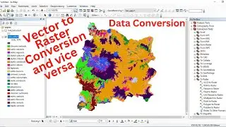
Data Conversion (Vector to Raster conversion and vice versa) using ArcGIS software
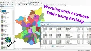
Working with Attribute Table using ArcMap in ArcGIS
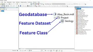
Working with Geodatabase, Feature Dataset and Feature Class
How to download river shapefile for any area
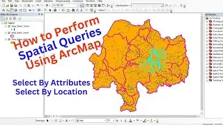
How to Perform Spatial Queries Using ArcMap
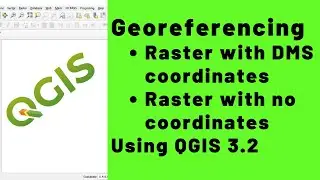
Georeferencing Raster Data using the Latest QGIS 3.2
Top 3 Geospatial Technologies: GIS, Remote Sensing, and GPS
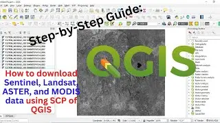
Step-by-Step Guide: How to download Sentinel, Landsat, ASTER, and MODIS data using SCP of QGIS
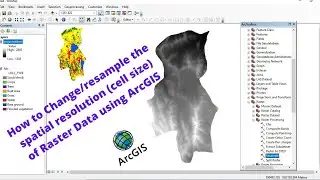
How to change/resample the spatial resolution of raster data using ArcGIS
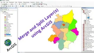
Split and Merge Layer (s) using ArcGIS
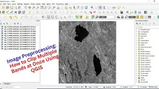
Image Preprocessing: How to Clip Multiple Bands at Once Using QGIS
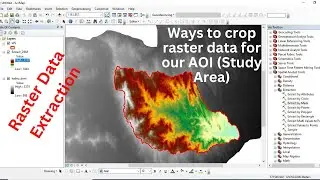
Raster Data Extraction using ArcGIS software
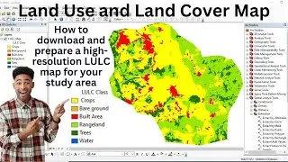
How to download and prepare a high-resolution LULC map for your study area: very easy and short
Working with Geoprocessing Tools in ArcGIS software
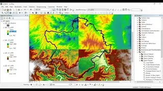
Very easy and short: How to combine/mosaic multiple raster data into a single raster
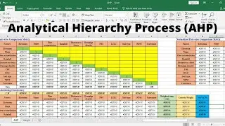
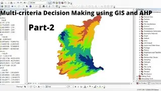
Step-by-step Procedure of Multi-criteria Decision Making (MCDM) analysis using GIS and AHP - Part 2
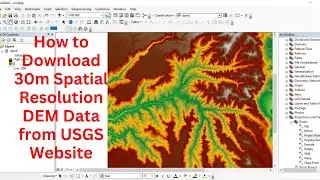
Step-by-Step Guide: How to Download 30m Spatial Resolution DEM Data from USGS Website
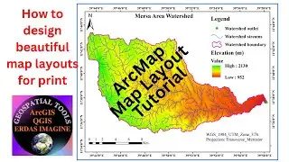
ArcMap Map Layout Tutorial: how to design beautiful map layouts for print
How to Create a Subset of Remote Sensing Data using ERDAS IMAGINE 2014
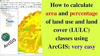
How to calculate area and percentage of land use and land cover (LULC) classes using ArcGIS
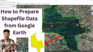
How to prepare shapefile data from Google Earth
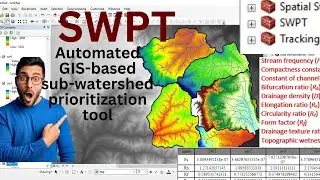
How to use GIS-based SWPT tool for Subwatershed Prioritization
How to Perform Land Suitability Evaluation: Step-by-Step Tutorial [Full]
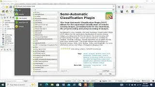
How to Install Semi-Automatic Classification Plugin in QGIS
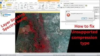
Layer stacking Spectral Bands with ERDAS IMAGINE, How to Fix Unsupported Compression Type -Part 1
Step-by-step Procedure of Multi-criteria Decision Making (MCDM) analysis using GIS and AHP - Part 1


![How to Perform Land Suitability Evaluation: Step-by-Step Tutorial [Full]](https://images.mixrolikus.cc/video/IEuV2VT4RzQ)