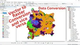
Data Conversion (Vector to Raster conversion and vice versa) using ArcGIS software
This video tutorial is to show you how to convert vector data to raster data and vice versa using ArcGIS software
Other related video tutorials:
Reclassification of Raster Data Using ArcGIS: • Reclassification of Raster Data Using...
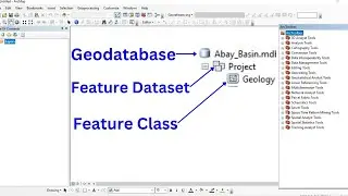
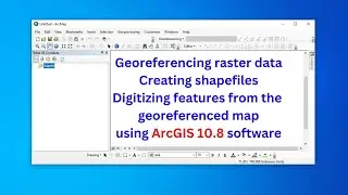
Georeferencing raster data, creating and editing features from the georeferenced/existing data: • Georeferencing raster data, creating ...
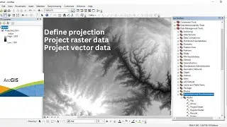
Define projection, and project raster and vector data using ArcGIS software: • Define projection, and project raster...
Terrain Analysis using ArcGIS from DEM data: • Terrain Analysis using ArcGIS from DE...
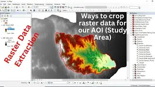
How to extract/clip raster and vector data using QGIS: • How to extract/clip raster and vector...
How to change/resample the spatial resolution of raster data using ArcGIS: • How to change/resample the spatial re...


![How to Perform Land Suitability Evaluation: Step-by-Step Tutorial [Full]](https://images.mixrolikus.cc/video/IEuV2VT4RzQ)