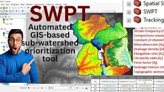
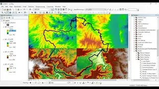
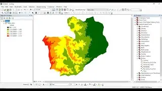
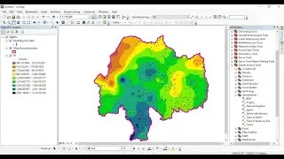
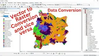
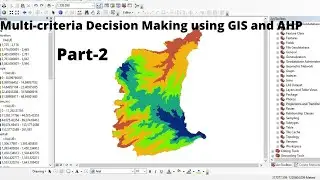
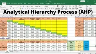
Step-by-step Procedure of Multi-criteria Decision Making (MCDM) analysis using GIS and AHP - Part 2
This video is to show how to carry out Multi-criteria Decision Making (MCDM) analysis using the integration of Geographic Information System (GIS) and Analytical Hierarchy Process (AHP).
Support Links:
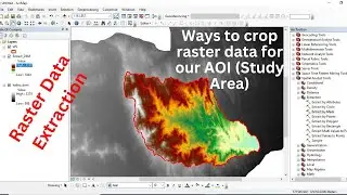
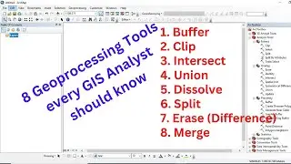
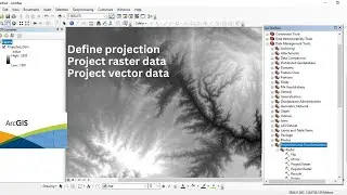
Reclassification of Raster Data Using ArcGIS: • Reclassification of Raster Data Using ArcGIS
NDVI Calculation for our AOI (Area of Interest) from Sentinel 2 Data using ArcGIS: • NDVI Calculation for our AOI (Area of Inte...
How to download 10-meter resolution land use and land cover (LULC) map of 2020 from ESRI: • How to download 10-meter resolution land u...
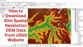
Watershed Delineation Using DEM Data (Full) – ArcGIS: • Watershed Delineation Using DEM Data (Full...
How to change/resample the spatial resolution of raster data using ArcGIS: • How to change/resample the spatial resolut...


![How to Perform Land Suitability Evaluation: Step-by-Step Tutorial [Full]](https://images.mixrolikus.cc/video/IEuV2VT4RzQ)