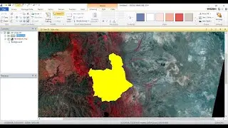
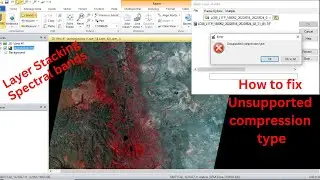
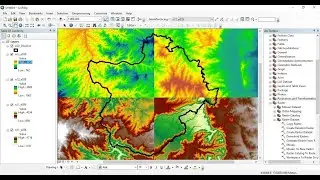
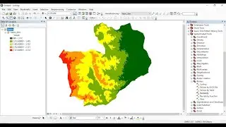
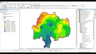
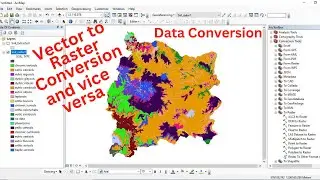
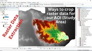
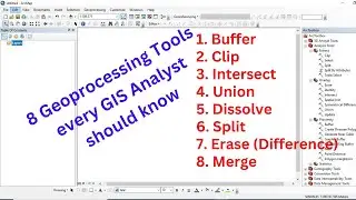
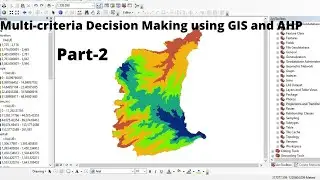
Step-by-step Procedure of Multi-criteria Decision Making (MCDM) analysis using GIS and AHP - Part 1
This video is to show how to carry out Multi-criteria Decision Making (MCDM) analysis using the integration of Geographic Information System (GIS) and Analytical Hierarchy Process (AHP).
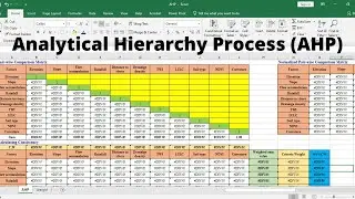
AHP Table for 11 factors:
https://docs.google.com/spreadsheets/...


![How to Perform Land Suitability Evaluation: Step-by-Step Tutorial [Full]](https://images.mixrolikus.cc/video/IEuV2VT4RzQ)