3 тысяч подписчиков
347 видео
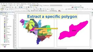
How to extract a specific polygon from bunch of polygons in ArcGIS
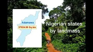
Nigerian states and their landmass: Explore Nigeria
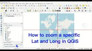
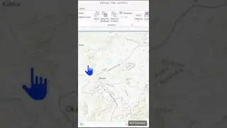
How to zoom Lat Long at specific extent in QGIS
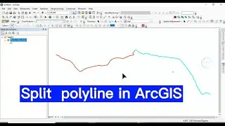
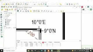
How to Split polyline in ArcGIS
Natural Disasters 100 potential research topics
100 Research topics on crime and insecurity management using geospatial techniques
100 potential research topics in Geology for MSc and PhD
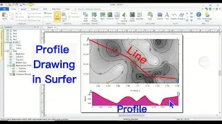
How to create Profile in Surfer Software using XYZ data
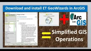
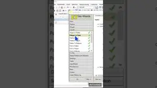
Download and install ET GeoWizards in ArcGIS
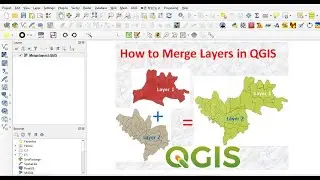
Merge Layers In QGIS
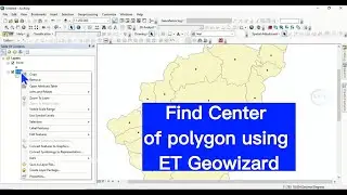
Find Center of polygon using ET Geowizards in ArcGIS
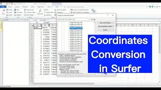
How to Convert Coordinates Using Surfer software | Coordinate system change
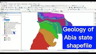
Abia State Geology Shapefile | Geology of Nigeria Shapefile
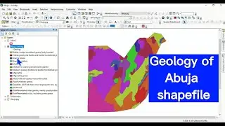
Geology of Abuja Shapefile |Geology of Nigeria map shapefile
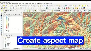
Create Aspect Map in QGIS
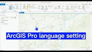
ArcGIS pro language settings
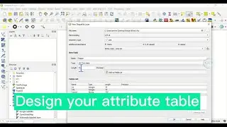
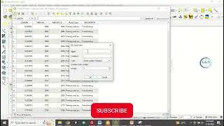
How to create or design attribute table in QGIS
Over 90 GIS and Remote Sensing research topics: Choose a project topic
Center of polygons in ArcGIS
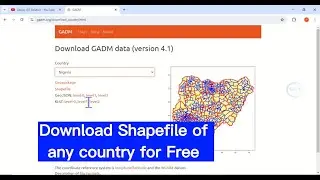
How To Download Shapefile For Free |Shapefile for country City , Study Area |Download Shapefile
Change Language in ArcGIS Pro | Language setting
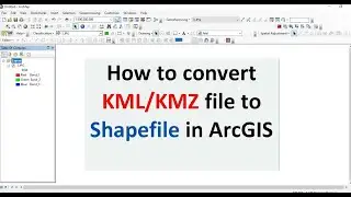
How to convert KML or KMZ file to Shapefile in ArcGIS
How to georeference map in QGIS
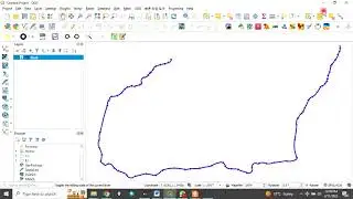
How to find the direction of road or line feature in QGIS
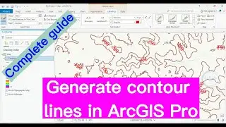
ArcGIS Pro Tutorial: Generating contour lines from a DEM in ArcGIS Pro
Different GIS Software Part 1
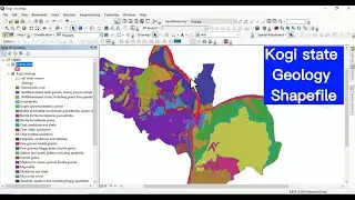
Kogi State Geology Shapefile | Geology of Nigeria Shapefile
Transfer Column Values to another column in QGIS Attribute table
How to merge polygons using attribute table in ArcGIS
How to convert Shapefile Layer to KML KMZ file in ArcGIS
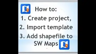
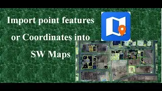
Create project, import template, shapefile to SW Maps
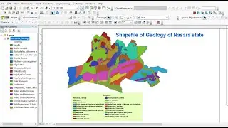
Geological map shapefile of Nigerian states: Geology of Nasarawa State Shapefile
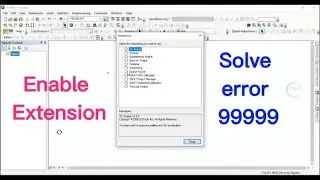
How To Enable Spatial Analyst Tools In ArcGIS: Solve error 999999
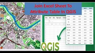
Join Excel Sheet To Attribute Table In QGIS
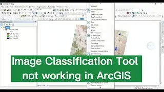
Image Classification Tool not Working in ArcGIS
QGIS Processing Toolbox and Raster Options Not Showing
Donald Trump shooting: A closer look in Google Earth (The shooter and the target)
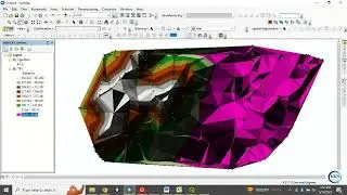
Create Triangulated Irregular Network (TIN) from elevation data
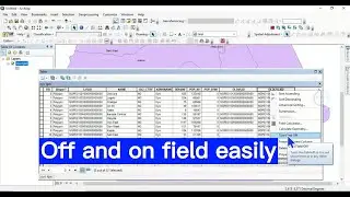
How to turn off and on of field in ArcGIS attribute table: Necessary for data cleaning
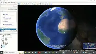
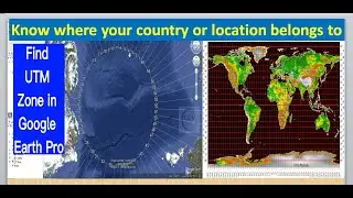
How to find UTM zone of your location or country in Google Earth Pro
Convert Shapefile to KML in QGIS and open in Google Earth
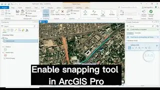
How to enable Snapping Tool in ArcGIS Pro: Increase accuracy of drawing
How to do data resampling in ArcGIS
Convert UTM to Latitude and Longitude: Coordinates conversion
How to Split Screen View in QGIS
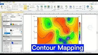
Contour Mapping Using Surfer Software
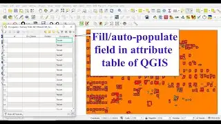
Fill or Auto populate field in attribute table of QGIS
World War II death by countries
Create Thiessen Polygon Using ET GeoWizards and ArcGIS
Research Topics in Geography
Import Point Features Or Coordinates into SW Maps