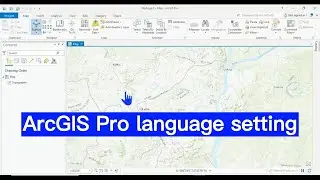
How to enable Snapping Tool in ArcGIS Pro: Increase accuracy of drawing
#viral #tutorial #arcgispro #tool #snapping #gis #gisoperation #map
Snapping is a configurable drawing aid that controls the accuracy of the pointer when you hover near a vertex, an endpoint, or other geometric elements. This video shows you how to enable Snapping Tool in ArcGIS Pro. Enjoy your watching and subscribe.
For business and enquiries: WhatsApp+2347065365193 or Email: [email protected]
Twitter/X: / geojay_gis
Subscribe for more videos:
/ @geojaygissolution4856
Related videos:
How to change coordinate system in ArcGIS Pro: • How to change coordinate system in Ar...
ArcGIS Pro: How to measure area, distance and perimeter in ArcGIS Pro: • ArcGIS Pro: How to measure area, dist...
How to copy and paste feature in ArcGIS Pro attribute table: • How to copy and paste feature in ArcG...
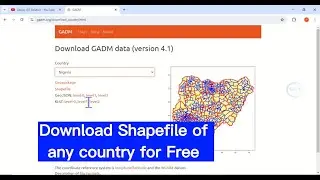
How to convert shapefile to Excel sheet in ArcGIS Pro: • Convert shapefile (table) to Excel sh...
How to create a new project in ArcGIS pro: • ArcGIS Pro for beginner: How to creat...
Table of content not showing/disappearing in ArcGIS Pro: • ArcGIS Pro: Table of content not show...