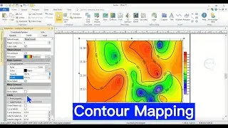
Contour Mapping Using Surfer Software
#contour #surfer #surfaceanalysis #viral #tutorial #viralvideos #gis #data #spatial #map
Contour mapping is a technique used to represent elevation and terrain on a two-dimensional surface, illustrating slopes and landforms effectively. Contour maps are useful for understanding topography, planning construction, guiding navigation, assessing land use, and analyzing environmental changes effectively. In this video I will show you Contour Mapping Using Surfer Software. Enjoy your watching and subscribe.
For business and enquiries: WhatsApp+2347065365193 or Email: [email protected]
Buy me a coffee: https://buymeacoffee.com/geojay
Twitter/X: / geojay_gis
Subscribe for more videos:
/ @geojaygissolution4856
Related videos
Create contours from DEM in QGIS: • Create Contours from DEM in QGIS
Generate contour map from DEM in ArcGIS: • Generate contour map from DEM in ArcGIS
How to do contour map from xyz data in QGIS: • How to do contour map from xyz data i...
ArcGIS Pro Tutorial: Generating contour lines from a DEM in ArcGIS Pro: • ArcGIS Pro Tutorial: Generating conto...
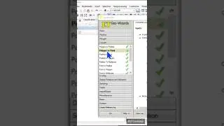
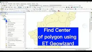
Find Center of polygon using ET GeoWizards in ArcGIS: • Find Center of polygon using ET Geowi...