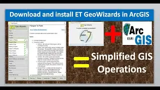
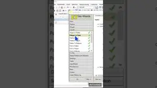
Create Thiessen Polygon Using ET GeoWizards and ArcGIS
#Thiessenpolygon #polygon #etgeowizards #viral #tutorial #viralvideos #gis #data #spatial #map
Thiessen polygons are generated from a set of sample points such that each polygon defines an area of influence around its sample point. The Thiessen polygons (otherwise known as Voronoi polygons or Voronoi diagrams), are an essential method for the analysis of proximity and neighborhood. In this video I will show you how to Create Thiessen Polygon Using ET GeoWizards and ArcGIS. Enjoy your watching and subscribe.
For business and enquiries: WhatsApp+2347065365193 or Email: [email protected]
Buy me a coffee: https://buymeacoffee.com/geojay
Twitter/X: / geojay_gis
Subscribe for more videos:
/ @geojaygissolution4856
Related videos
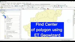
Find Center of polygon using ET GeoWizards in ArcGIS: • Find Center of polygon using ET Geowi...
How to extract a polygon from bunch of polygons in ArcGIS: • How to extract a specific polygon fro...
How to label individual side of polygon in QGIS with length: QGIS dimension and measurement: • How to label individual side of polyg...
Calculate polygon area in QGIS: • Calculate Polygons Area in QGIS
Erase any specific area of polygon in ArcGIS: • Erase any Specific area of polygon in...
Split Polygons Into Individual Shapefile In QGIS: • Split Polygons Into Individual Shapef...
Single outline on multiple adjacent polygons in GQIS: • Single outline on multiple adjacent p...
How to find or extract centroid of polygon in QGIS: • How to find or extract centroid of po...
Divide polygon in ArcGIS: • Divide polygon in ArcGIS
Convert points to line and polygon in QGIS: • Convert points to line and polygon in...
How to convert points to polygon in ArcGIS: • How to convert points to polygon in A...
Count point in polygon: • Count point in polygon