16 тысяч подписчиков
519 видео
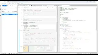
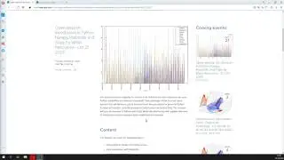
Online tools for groundwater modeling preprocessing with Model Muse
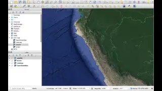
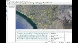
How to add a Google Map/Terrain/Satellite Layer in QGIS 3 - Tutorial
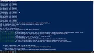
How to set a multiuser Jupyterlab server with Jupyterhub (in Windows with Docker)
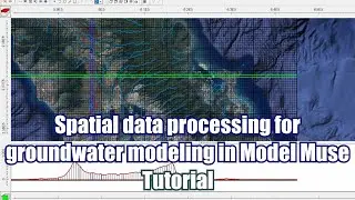
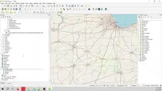
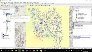
Spatial data processing for groundwater modeling in Model Muse - Tutorial
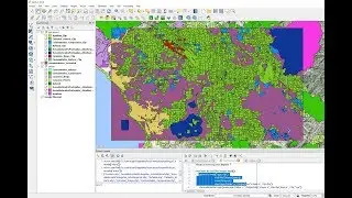
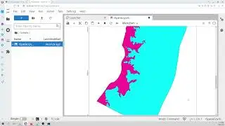
Introduction to PyQGIS, the Python environment in QGIS
How to make a geospatial Rest Api web service with Python, Flask and Shapely - Tutorial
Web representation of water chemistry data and hydrological features with Qgis2Web and Github
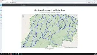
New feature of our online tool for watershed delimitation in Hatari Utils.
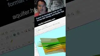
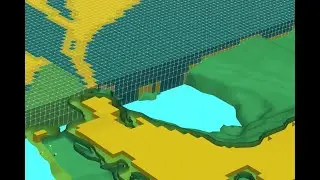
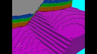
Export 3d Geological Units as Vtk format with Gempy and Aquifer App - Tutorial
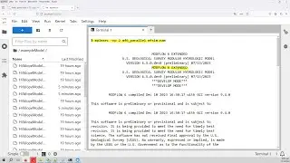
Docker image containing the parallel version of MODFLOW 6 with application examples
No Flow boundary conditions in MODFLOW ...for dummies
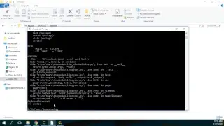
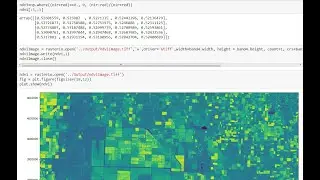
Geospatial triangular interpolation with Python, Scipy, Geopandas and Rasterio - Tutorial
Geospatial crop counting from drone orthophotos with Python and Scikit Learn
Webinar intro: Geological modeling of sedimentary layers from rasters with Python and Gempy
Open webinar intro: Introduction to Python, Numpy, Matplotlib and Scipy for Water Resources - Oct 27
Floating Object Stability Modeling with OpenFOAM Tutorial - Animation
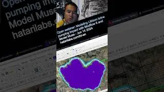
Open webinar: Modeling Lithium brine pumping impact with Modflow 6 and Model Muse - Jun 14 2024
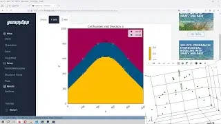
Geological modeling of an anticline structure with Gempy and Aquifer App - Tutorial
Introduction to Python and Geopandas for Flooded Area Analysis - Tutorial
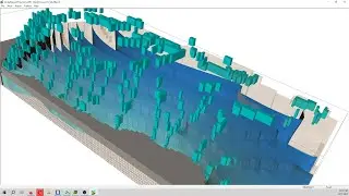
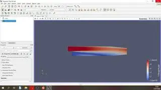
3d visualization of Modflow 6 models with Model Viewer - Tutorial
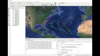
How To Create Line From Points in QGIS with PyQGIS and Pandas - Tutorial
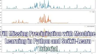
Fill Missing Precipitation Data with Machine Learning in Python and Scikit-Learn - Tutorial
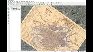
Tutorial: Georeferencing Historic/Ancient Maps with QGIS
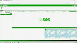
How to view temperature sensor data from a Istsos server (as viewer) - Tutorial
How to insert a 3D Geology into a MODFLOW Model with Python and Flopy - Tutorial
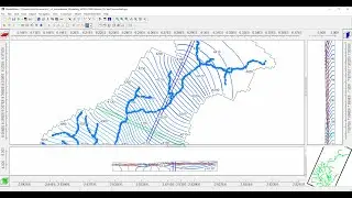
Tutorial of regional groundwater flow modeling with MODFLOW 6 and Model Muse 4
Developing geospatial webapps with Python and Django - Tutorial
How to install Hakuchk with Docker for Windows 10 - Tutorial
How to create a geospatial Raster from XY data with Python, Pandas and Rasterio - Tutorial
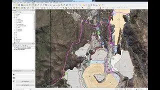
Clip Multiple Layers in QGIS with PyQGIS - Tutorial
How to add multiple Vector Layers and group them in QGIS with PyQGIS - Tutorial
Flopy Installation in Anaconda 3 - Tutorial
NDVI calculation from Landsat8 images with Python 3 and Rasterio - Tutorial
How to smooth a Aster DEM elevation raster with QGIS 3 - Tutorial
How to install Postgresql and Postgis in Windows 10 with WSL and Debian - Tutorial
How to install the R spatial library Terra on a conda enviroment - Tutorial
Fill Missing Precipitation Data with Artificial Intelligence (Python Keras) - Tutorial
Interactive representation of a geospatial raster with Python, Folium and Rasterio - Tutorial
Tutorial to run a simple model of OpenFOAM with Parafoam in Windows 10
How to install the Python geological modeling library Gempy in Windows with Debian and WSL
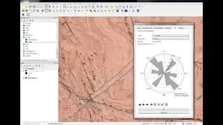
Extracting geological faults and orientation representation in QGIS with GeoTrace - Tutorial
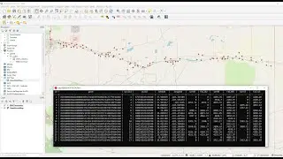
Produced Water Chemistry and Isotope Analysis with Python and Pandas - Tutorial
How to georeference a Raster/Image in QGIS3 - Tutorial
Webinar intro: Audit of groundwater availability models (GAMs) with Python and Flopy - Jun 16 , 2023
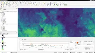
How to calculate the Root Mean Square Error (RMSE) of an interpolated pH raster
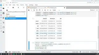
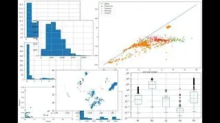
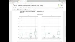
How to create a boxplot to represent basin scale water constituents using Python - Tutorial
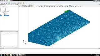
OpenFOAM Model Local Mesh Refinement with Salome and Python3 - Tutorial
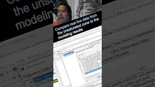
Compare real live data from the unsaturated zone to the modeling results
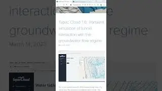
Tupac Cloud T.6: Transient simulation of tunnel interaction with the groundwater flow regime
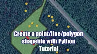
How to create a point/line/polygon shapefile with Python and Fiona - Tutorial
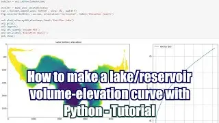
How to make a lake/reservoir volume-elevation curve with Python - Tutorial