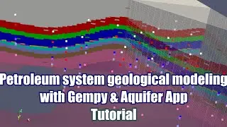
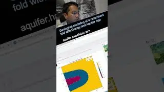
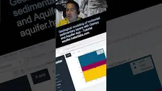
Webinar intro: Geological modeling of sedimentary layers from rasters with Python and Gempy
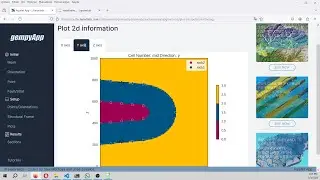
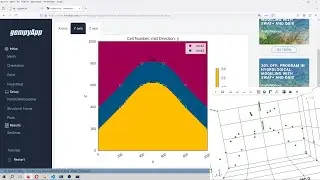
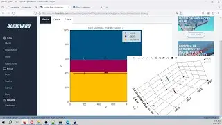
The distribution of geological units over different depths on an area of interest is often needed as an input for other numerical models. Sources of data for geological modeling are usually bore logs but these can be also interpreted geological unit bottom elevations as geospatial rasters. Based on a coupled workflow on QGIS and Python it is possible to extract the required information for a Gempy model and run it for defined voxel sizes. This webinar covers the whole procedure of spatial data preparation, data preprocessing in defined formats and geological modeling with Python and Gempy.
More info:
https://hatarilabs.com/ht-en/open-web...
Register:
https://webinars.hatarilabs.com/webin...