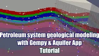
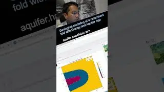
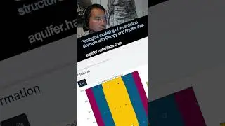
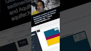
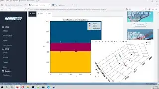
Geological modeling of a petroleum system with Gempy, Gemgis and Aquifer App - Tutorial
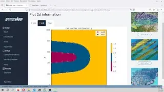
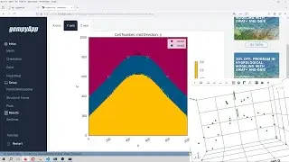
Aquifer App offers a friendly, clean and powerful way to create Gempy scripts for geological modeling. We have developed an applied case of a 3D petroleum system model for a part of the Williston Basin, USA that contains the Nesson Anticline. Top layer information was provided as raster format where elevation and orientation for random points were extracted with Python codes using the Gemgis package and exported in Gempy input file format. On Aquifer App the processed CSV files were inserted and the geological model was set up with the corresponding geological sequence.
Input data
https://hatarilabs.com/ih-en/geologic...


![Baaje Khatiya Char Char [Bhojpuri Video]Feat.Ravi Kishan & Pakhi](https://images.mixrolikus.cc/video/We4oVHR1Yxw)