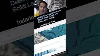
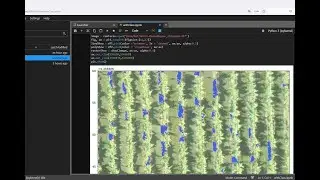
Missing Crop Vegetation Areas Detection with Python and Scikit Learn
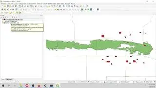
An applied case for the recognition of missing crop vegetation areas based on a drone orthophoto. Contours have been identified from an enhanced combination of raster bands with a marching squares method to find constant valued contours and then exported as geospatial polygons.
Link:
https://hatarilabs.com/ih-en/missing-...


![Baaje Khatiya Char Char [Bhojpuri Video]Feat.Ravi Kishan & Pakhi](https://images.mixrolikus.cc/video/We4oVHR1Yxw)