How to georeference a Raster/Image in QGIS3 - Tutorial
Sometimes spatial information could only be found on paper or as an image, that is why the process of georeferencing the rasters/images is key for the extraction of spatial data from a document.
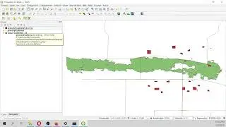
In QGIS3 the georeferencing process uses the GDAL library. The Georefencer option appears on the Raster dropdown menu in the main toolbar. Georeferencing process in QGIS3 is almost the same than in former QGIS versions. This tutorial shows the whole procedure to georeference a raster file in PNG format on QGIS 3.4 Madeira.
Input files
You can dowload the input files for this tutorial here:
https://www.hatarilabs.com/ih-en/how-...