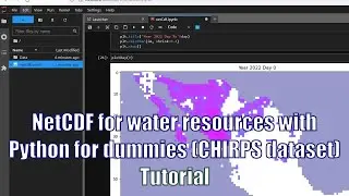
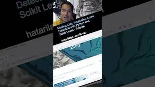
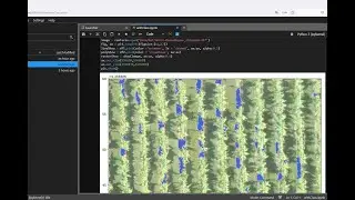
Geospatial crop counting from drone orthophotos with Python and Scikit Learn
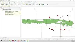
Orthophoto from drones provide us aerial imagery with spatial resolution in the scale of centimeters. With this high definition and cheap ortophotos we can interpret, analyze and quantify objects on a horizontal distribution by means of machine learning libraries for image recognition and cluster analysis. We have done an applied example of plant recognition and counting from a drone orthophoto with Python and the machine learning libraries Scikit Learn and Scikit Image. The whole process is geospatial, as it works with raster and shapefiles and results are finally displayed on QGIS.
Input data
You can download the input data from this link:
https://www.hatarilabs.com/ih-en/geos...

![[FREE] SLIMESITO x BEEZYB TYPE BEAT 2022 -](https://images.mixrolikus.cc/video/1EoTITwenvE)