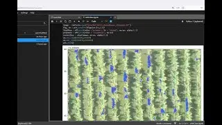
How to create a point/line/polygon shapefile with Python and Fiona - Tutorial
Storage, management and analysis of geospatial vector data as an ESRI shapefile is a common procedure of GIS and related professionals. The generation of these spatial files can be done not only on a desktop software but also by Python commands. We have created an applied example that shows the procedure in Python to create point, line, and polygon shapefiles from a csv file by the use of the Fiona library.
Input data
You can download the input data from this link.
https://www.hatarilabs.com/ih-en/how-...