5 тысяч подписчиков
117 видео
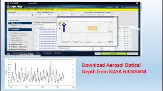
How to download Aerosol Optical Depth data from GIOVANNI NASA
How to Create Hypsometric Curve in ArcGIS
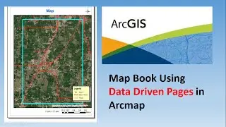
How to create Map Book using Data Driven Pages in Arcmap
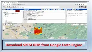
How to download SRTM DEM from Google Earth Engine
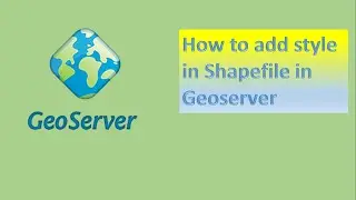
How to add style in shapefile in geoserver || using sld
How to Calculate LST and Time Series Analysis in Google Earth Engine|| GEE
How to Digitize Road Network in QGIS
Interpolation by krigging Method - Geostatistical Analysis
Calculate SAVI using Google Earth Engine
How to use Reducer function in Google Earth Engine
How to Create a Precipitation Time Series Graph using Google Earth Engine
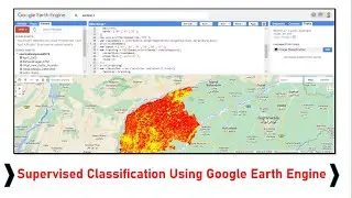
Supervised Classification in Google Earth Engine
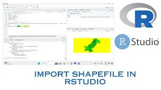
How to Import Shapefile in RStudio
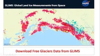
Download Free Glaciers Data from GLIMS
NDVI of Sentinel 2 in GEE
How to Download and Install R Studio latest version 2024
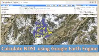
How to Calculate NDSI Using Google Earth Engine || GEE
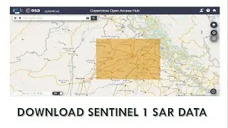
How to download Sentinel 1 SAR Data
CONVERT SHP TO WKT IN QGIS || CSV
how to calculate NDVI using LANDSAT 8 in google earth engine
How to Plot Spectral Response Curve in Google Earth Engine
How to zoom lat long at specific extent in QGIS
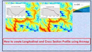
How to create Longitudinal and Cross Section Profile using Arcmap
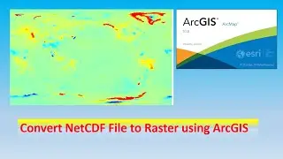
How to convert NetCDF File to Raster in arcmap
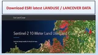
How to Download ESRI 2021 Global Landcover Data
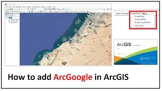
How to add ArcGoogle in ArcGIS
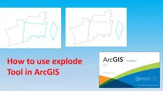
How to Use Explode Tool in Arcmap || Separating a multipart feature
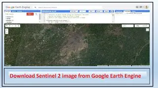
How to download Sentinel 2 image from Google Earth Engine
how to create a personal geodatabase in arcGIS
How to upload Shapefile and GeoTiff file in Google Earth Engine
Create Time Series Graph in Arcmap using Attribute Tabel
How to Overlay GeoServer Web Service WMS on Google Earth Pro
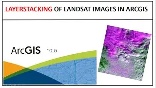
Layerstacking of landsat images in arcgis
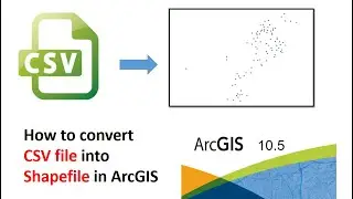
How to Convert CSV file into Shapefile in ArcGIS
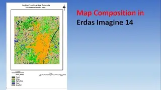
Map Composition in Erdas Imagine 14
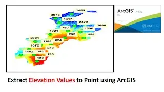
How to Extract Raster Values to Point in ArcGIS
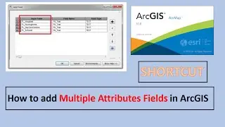
How to add Attribute Field in Arcmap || Shortcut
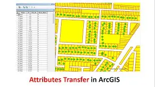
How to Transfer Attributes in ArcGIS
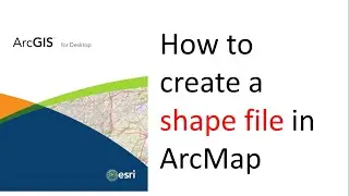
how to create a shapefile in ArcMap
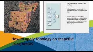
How to apply Topology on shapefile using arcgis
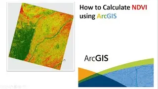
How to Calculate NDVI using ArcGIS || Normalized Difference Vegetation Index
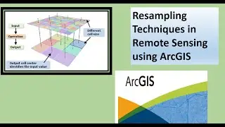
Resampling Technique in Remote Sensing using arcgis
How to plot graphs using Excel csv data in R studio
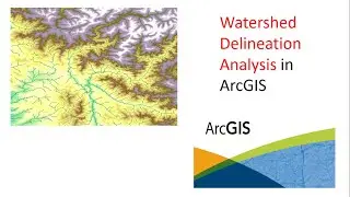
Watershed Delineation using Arc Hydro Tool Bar in arcGIS | How to create Drainage Map
How to publish group layer in geoserver
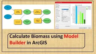
Calculate Biomass using Model Builder in Arcmap
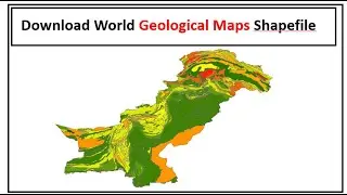
How to download World Geological Map Shapefile
NDVI in Google Earth Engine ||Shorts
Compute Combined Indices into one image Using Google Earth Engine
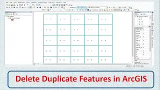
How to Delete Duplicate Features in ArcGIS