How to download SRTM DEM from Google Earth Engine
In this Google Earth Engine tutorial, I will present how to download SRTM Digital Elevation Model with 30m resolution from Google Earth Engine .
Downloading, processing and storing satellite data can be a serious pain. I remember pulling my hair out trying to find RGB imagery of the transboundary area from Cambodia to Vietnam without any cloud-cover (Synthetic Aperture Radar wasn’t applicable for my task at hand). Eventually, a colleague pointed me towards Google Earth Engine — an absolute Godsend!
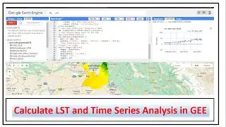
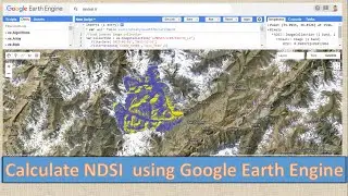
Google Earth Engine (GEE) is a cloud-computing platform for processing satellite imagery and other geospatial and observational data. It allows all the heavy-computer processing on remote servers and is incredibly quick. It is also completely free!
The Shuttle Radar Topography Mission (SRTM) digital elevation dataset was originally produced to provide consistent, high-quality elevation data at near global scope. This version of the SRTM digital elevation data has been processed to fill data voids, and to facilitate its ease of use.
#googleearthengine
#googleearthenginetutorial
#srtm
#DEM
#dem
#download_dem


