One Minute Map Hack: Erase Bits of an Image With a Transparency Gradient
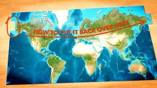
You want some of an image layer's pixels but not all of them, right! You don't have to treat them all the same, you can feather in transparency at any point along your color gradient...and effectively erase bits of the image. You could do all sorts of classification and raster math...but this is a nice and easy visual solution to many problems and I use it in virtually every map I make.
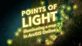
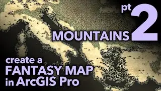
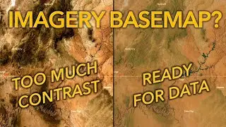
This demo uses ArcGIS Pro, with the World Imagery basemap and a NASA Earth at Night image layered atop.
https://www.esri.com/en-us/arcgis/pro...
https://livingatlas.arcgis.com/en/bro...
https://blackmarble.gsfc.nasa.gov/
You can also use blend modes for other effects. This is different and just as handy.
Check out some other social channels where I share how-to's and updates on random map adventures:
http://adventuresinmapping.com
https://www.esri.com/arcgis-blog/auth...
/ john_m_nelson
/ johnmnelson
/ johnmnelson