Detect Wildfire Extents with Satellite Radar
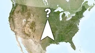
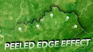
Here's how to use the Sentinel-1 Explorer to run a change detection of radar images captured on different dates to determine the extent of wildfires. In this example we'll isolate the Park Fire, in Northern California. You can also do this for any change event, like flooding, deforestation, urbanization, oil spills, or shipping vessel movements. The radar imagery library goes back ten years so historical events can be tracked down too.
Here's a link to the Sentinel-1 Explorer: https://livingatlas.arcgis.com/sentin...
Here's a link, isolating the extent of the Park Fire in late July of 2024: https://livingatlas.arcgis.com/sentin...
0:00 What is radar?
0:33 Finding a wildfire and choosing two dates
1:10 Masking only wildfire burn areas
1:32 Some other examples
Check out some other social channels where I share how-to's and updates on random map adventures:
http://adventuresinmapping.com
https://www.esri.com/arcgis-blog/auth...
/ john_m_nelson
/ johnmnelson
/ johnmnelson
Music: Stairway by Patrick Patrikios
Thanks for watching! Love, John Nelson


