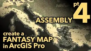
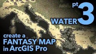
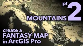
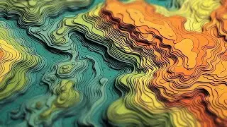
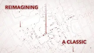
Re-creating Trippy AI-Generated Terrain Contours
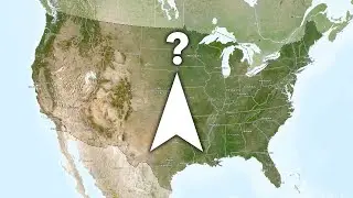
A while ago I saw a sizzling AI-generated topo image and it was glorious and beautiful and sinuous and tactile and inspiring and intimidating. The more I looked at it, though, the more I suspected I could tease out some tricks to replicate the aesthetic, but using ArcGIs Pro and real honest to goodness data. A topo map of a real place?! Let's do this.
0:00 Dazzling intro
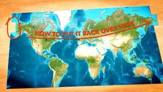
0:34 DEM elevation download, thanks NASA!
0:50 Blur the DEM for smooth generalized contours
1:20 Creating contours from a DEM
2:02 Ferris Bueller style summary of the hack
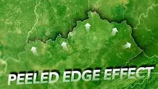
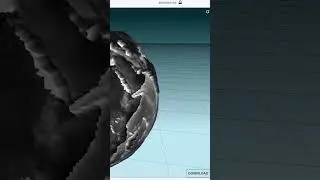
2:16 Hack that turns 2D elevation polygons into isometric 3D looking things
3:34 Color thievery
4:11 A crisp edge highlight
5:18 Isolating the shading into a separate layer with delicious blend mode
8:15 Poster paper texture
9:58 Pepper gets a scratch
Check out some other social channels where I share how-to's and updates on random map adventures:
http://adventuresinmapping.com
https://www.esri.com/arcgis-blog/auth...
/ john_m_nelson
/ johnmnelson
/ johnmnelson


![[FREE] Hard Trap Type Beat 2021](https://images.mixrolikus.cc/video/tmPvUw6c2AE)