44 тысяч подписчиков
313 видео
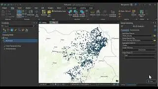
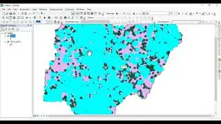
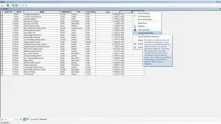
crime analysis- 80-20 analysis
LECTURE SERIES I1I PARETO PRINCIPLE I
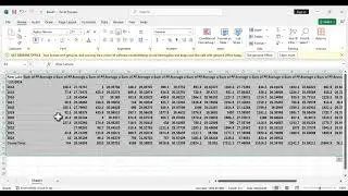
Geostatisitcs Analysis: How to convert daily data to monthly in MS Excel #howto #mapping
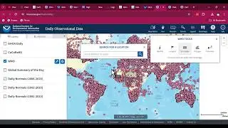
How to Download Rainfall and Temperature data from 1948-2024
Crime Analysis Part II- Peprocessing
Crime Analysis Part I- Data collection
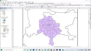
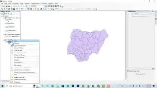
ArcGIS Desktop I beginner to pro I 13 map making I No.5I study area map
ArcGIS Desktop I beginner to pro I 13 map making I No.5I Legend editing
ArcGIS Desktop I beginner to pro I 13 map making I No.4I Making a simple Map
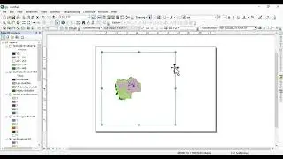
ArcGIS Desktop I beginner to pro I 13 map making I No.1I Changing layout size and Print Map
ArcGIS Desktop I beginner to pro I 13 map making I No.2I How to create map layout
ArcGIS Desktop I beginner to pro I 13 map making I No.1I how to create an inset map
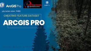
ArcGIS Pro Creating Feature dataset
converting shapefile to kml and importing it to sasplanet
II how to II delete duplicate layer II polygon II in arcgis 10.8 II
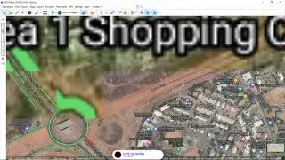
DATA ACQUISITION USING SASPLANET TO DOWNLOAD SATELLITE IMAGERY
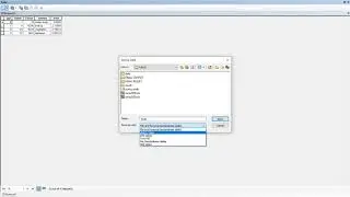
how to export data from dbase table to excel on arcmap
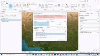
importing csv excel file with xy data to arcgis pro
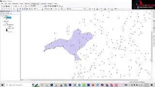
basics of digitizing road
ArcGIS Tutorial: Computing Stream Power Index for Hydrology Analysis
ArcGIS Desktop I beginner to pro I software Required and Introduction to ArcGIS
Cadastral Survey - Survey Plan part 1 using ArcGis
How to edit attribute on arcmap
how to generare long and lat from data on arcgis
dowloading very very high resolution satellite imagery using map puzzles
MUST WATCH :how to label features and convert to annotation on arcgis 10 2
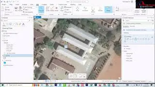
ARCGIS PRO DIGITIZING USING RECTANGLE TOOL
Digitizing and adding X and Y to attributes in ArcMap
ArcGIS Desktop I beginner to pro I Geo-processing I No. 9 I multiple Ring Buffer
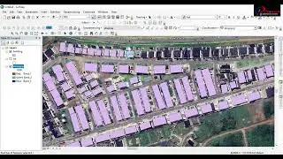
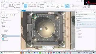
ARCGIS PRO DIGITIZING BUILDING USING POLYGON TOOL
ArcGIS Desktop: Mastering the Art of Mosaicking DEM SRTM
Arcgis pro
2D to 3D ArcGis training
GIS BASICS :HOW TO CLIP(VECTOR) LAYER ON ARCMAP 10.8
merge a layer on arcgis 10 2
ArcGIS Desktop I beginner to pro I GIS Basics I No. 7 I Changing color of shapefile
Conversion: From Feature Class To Shapefile
ArcGIS Tutorial: ComputingTopographic wetness Index for Hydrology Analysis in ArcGIS Desktop
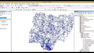
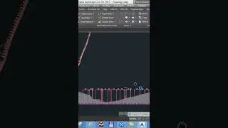
ROAD DESIGN TUTORIAL FROM START TO FINISH
GIS TRAINING DAY 1
Introduction to arcgis pro
Longitudinal and cross section production in civil 3D
Arcgis basics: organizing and connecting folder to arcmap 10.8
How to mosaic Landast 8 multi band dataset on ArcGIS desktop
module 1 physical class day 3 data acquisition qgis and landast image download
GIS Insight: Adding Data into ArcGIS Pro
ArcGIS Pro: Introduction to the interface and overview
Insight 1: How to Identify Fields with Domains in a Geodatabase
Digitizing road layer
Raster analysis Slope Surface Parameter
ArcGIS Pro creating a file Geodatabase