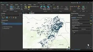
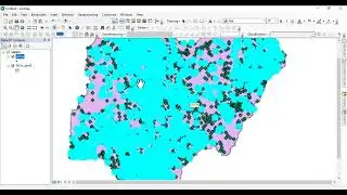
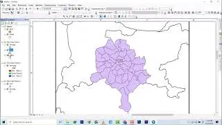
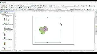
ArcGIS Tutorial: ComputingTopographic wetness Index for Hydrology Analysis in ArcGIS Desktop
the Topographic Roughness Index (TRI) for your study area using Digital Elevation Model in ArcGIS. It helps to identify the Terrain Roughness or Ruggedness.
The Topographic Roughness Index provides a quick and easy way to calculate a topographic roughness ratio using DEM. For each cell of the GRID model, the difference in altitude between the central cell and the other eight surrounding it is calculated. The Index's highest values are given by the sharp ridges and the slopes of the steep.
the formula is TWI= Con open bracket "slopindeg" greater than sign 0,Tan open bracket "slopindeg" close bracket,0.001 close bracket
Hire me on fiver https://www.fiverr.com/s/aXK9kQ?utm_s...
Connect with me on instagram @elitegeospatial_


![[FREE] Hard Trap Type Beat 2021](https://images.mixrolikus.cc/video/tmPvUw6c2AE)


