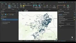
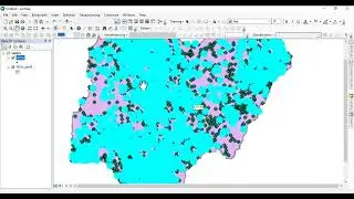
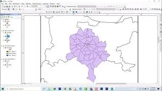
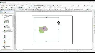
Digitizing and adding X and Y to attributes in ArcMap
In this tutorial, learn how to digitize features (polygons) in ArcMap and add X, Y coordinates to the attribute table. 🚀
🔹 Topics Covered:
✅ Starting an edit session & digitizing features
✅ Adding X and Y coordinate fields
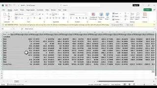
✅ Using "Calculate Geometry" to extract coordinates
✅ Exporting data with X, Y values
📌 Tools Used: ArcMap (ArcGIS Desktop)
📌 Best For: GIS beginners & professionals
🔴 Watch Now & Follow Along! 👇
👍 If you found this helpful, Like & Subscribe for more GIS tutorials! 🔔
#ArcMap #GIS #Digitizing #XYCoordinates #ArcGIS


![[FREE] Hard Trap Type Beat 2021](https://images.mixrolikus.cc/video/tmPvUw6c2AE)