ARCGIS PRO DIGITIZING BUILDING USING POLYGON TOOL
ARCGIS PRO DIGITIZING BUILDING USING POLYGON TOOL
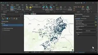
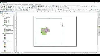
Welcome to our channel, where we provide you with a comprehensive step-by-step video tutorial on digitizing buildings using polygons in ArcGIS Pro. If you're interested in learning how to accurately map and represent buildings in a geographic information system, then this tutorial is perfect for you.
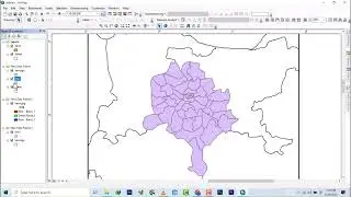
In this tutorial, we'll guide you through the entire process of digitizing buildings, from setting up your workspace to creating precise polygons. We'll cover essential topics such as importing base maps, adjusting the projection, and organizing your layers for efficient digitization.
You'll learn how to utilize the powerful tools and functionalities of ArcGIS Pro to digitize buildings with precision. We'll demonstrate techniques for creating accurate polygon shapes, ensuring that each building is represented with the utmost detail and accuracy.
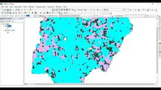
We'll also explore advanced features of ArcGIS Pro, such as using attribute data to label buildings, applying symbology to differentiate building types, and performing spatial analysis to extract valuable insights.
Whether you're a GIS professional, a student, or an enthusiast, this tutorial will equip you with the knowledge and skills to effectively digitize buildings using polygons on ArcGIS Pro. You'll gain a deeper understanding of the spatial data management process and how to create high-quality maps for various applications.
Join us on this educational journey and take your GIS skills to the next level. Subscribe to our channel and turn on notifications to stay updated with our latest tutorials and informative videos. Let's dive into the world of digitizing buildings with polygons on ArcGIS Pro and unlock new possibilities in spatial data analysis and visualization. Get ready to enhance your GIS capabilities and create accurate representations of buildings. Let's begin!
connect with me via social
twitter @aprokosurveyor
instagram _
youtube
Hire me on fiver https://www.fiverr.com/s/aXK9kQ?utm_s...