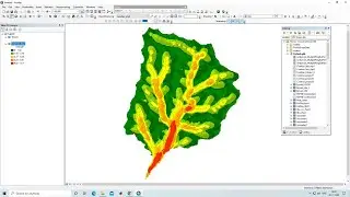
ArcGIS Lesson-2 Digitization, Creation of shapefile & Map Layout in Arcgis
In this video lesson, we will learn to Digitise point, line, and polygon shapefile and to creating a map layout
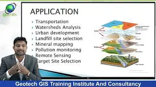
Geotech GIS Training institute is a prestigious remote sensing training institute in India. Our vision is to bring an opportunity to every aspirant who dreams of a successful career in remote sensing and GIS field.
We conduct the following courses:
Training Program Related to Project Work- Duration- 1 Month
Basics of Remote Sensing and GIS - Duration- 3 Months
Advance Diploma in Remote Sensing and GIS - Duration- 6 Months
PG Diploma in Remote Sensing and GIS- Duration- 1 Year
Master of Remote Sensing and GIS - Duration: 2 Years
Join our telegram Group Remote Sensing & GIS Professionals:- https://t.me/joinchat/UhUorR2yhloKeKP...
lesson-1:- • QGIS Lesson-1 QGIS absolute beginners...
lesson-2 :- • QGIS Lesson-2 Digitization in QGIS, D...
Lesson-3:- • QGIS Lessons-3 Interface of Google Ea...
Lesson-4:- • QGIS Lessons-4 Download DEM,Create Sl...
Lesson-5:- • QGIS Lessons 5 Visualization of DEM i...
Lesson-6:- • QGIS Lesson 6 doubt clearing session ...
Any Help Contact
Mr.Vikas [email protected]
WhatsApp= +918421031398
FB: https: //www.facebook.com/vikas.ghadamode/
Instagram: https://instagram.com/ghadamode?utm_m...
Linkedin: / vikas-ghadamode-a6a3939b