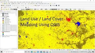
Land Use Land Cove (LULC) Mapping using QGIS || Landsat 8 Calssification using QGIS, Language Hindi
Hello Everyone
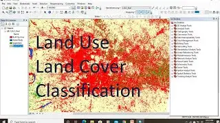
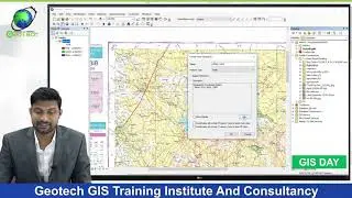
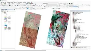
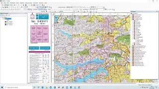
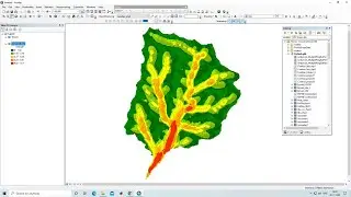
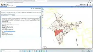
In this tutorial we will learn to prepare LULC map Using QGIS software.
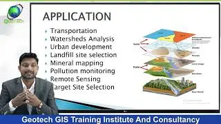
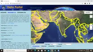
Land Use/Land Cover (LULC) is a broad term that describes the categorization or classification of human activities and natural features on the landscape across time using recognised scientific and statistical methods of analysis of acceptable source materials.
lesson-1:- • QGIS Lesson-1 QGIS absolute beginners...
lesson-2 :- • QGIS Lesson-2 Digitization in QGIS, D...
Lesson-3:- • QGIS Lessons-3 Interface of Google Ea...
Lesson-4:- • QGIS Lessons-4 Download DEM,Create Sl...
Lesson-5:- • QGIS Lessons 5 Visualization of DEM i...
Contact
Any Help Contact
Mr.Vikas [email protected]
WhatsApp Number= +918421031398
LULC mapping Using QGIS, Land Use Mapping, Landsat 8 Image classification, SCP plugins, Supervised Classification, Semi automatic classification.