RS & GIS QA61 How to Convert Multiple PDF file into TIff File using ArcMAP for absolute Beginners
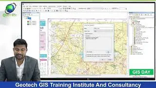
How to Add PDF file in ArcMap
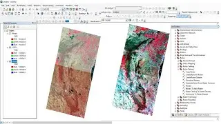
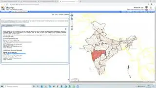
How to Convert Multiple PDF file into TIff File using ArcMAP
Join our telegram Group Remote Sensing & GIS Professionals:- https://t.me/joinchat/UhUorR2yhloKeKP...
Geotech GIS Training institute is a prestigious remote sensing training institute in India. Our vision is to bring an opportunity to every aspirant who dreams of a successful career in remote sensing and GIS field.
We conduct the following courses:
Training Program Related to Project Work- Duration- 1 Month
Basics of Remote Sensing and GIS - Duration- 3 Months
Advance Diploma in Remote Sensing and GIS - Duration- 6 Months
PG Diploma in Remote Sensing and GIS- Duration- 1 Year
Master of Remote Sensing and GIS - Duration: 2 Years
Any Help Contact
Mr.Vikas [email protected]
WhatsApp Number= +918421031398
You May Like
Population Density Data: https://www.census2011.co.in/census/s...
Diva GIS Shapefile: https://www.diva-gis.org/gdata
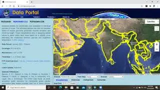
RS & GIS QA15- Download ready-to-use contour lines from Open DEM & Generate DEM from Contour: • RS & GIS QA15- Download ready-to-use ...
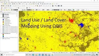
Land Use Land Cover Mapping in QGIS: • Land Use Land Cove (LULC) Mapping usi...
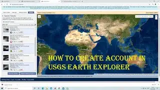
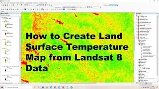
How to Download Landsat 9 Data set from USGS earth Explorer: • How to Download Landsat 9 Data set fr...
Download Rainfall data: • Download rainfall data from CHRS Data...
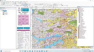
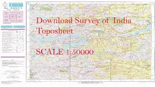
Download SOI Toposheet : • New Survey of India Website to Downlo...
Google earth Playlist : • Google Earth Hands On
ArcGIS : • ARC GIS
QGIS: • QGIS Lesson
#gis #googlemaps #map #area
THANK YOU SO MUCH