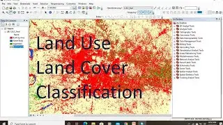
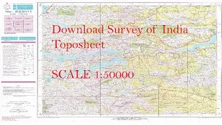
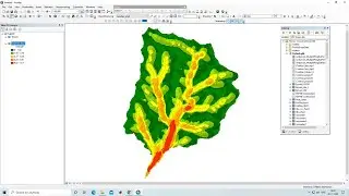
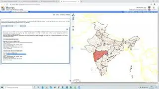
How to Calculate Area and Percentage of Raster Land Use Map using ArcMap and ArcGIS Pro
Any Help Contact
Mr.Vikas [email protected]
WhatsApp Number= +918421031398
WhatsApp Chat:https://wa.me/+918421031398
Geotech GIS Training Institute is a prestigious remote sensing training institute in India. Our vision is to bring an opportunity to every aspirant who dreams of a successful remote sensing and GIS career.
We conduct the following courses:
Training Program Related to Project Work- Duration- 1 Month
Basics of Remote Sensing and GIS - Duration- 3 Months
Advance Diploma in Remote Sensing and GIS - Duration- 6 Months
PG Diploma in Remote Sensing and GIS- Duration- 1 Year
Master of Remote Sensing and GIS - Duration: 2 Years
How to Calculate Area and Percentage of Raster Land Use Map using ArcMap and ArcGIS Pro
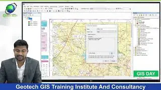
The results come as the total number of pixels for each class in that polygon. Simply convert it to area by using this formula ((Total Pixels * length * width of each pixel) / 1000000 ). We divide with 10^6 to convert sqm to sq. km. Hope this helps.
You May Like
What is Projection
ArcGIS Lesson-1 Arcgis for beginners, Introduction of GIS,Georeferencing and Projection: • ArcGIS Lesson-1 Arcgis for beginners,...
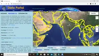
Population Density Data: https://www.census2011.co.in/census/s...
Diva GIS Shapefile: https://www.diva-gis.org/gdata
RS & GIS QA15- Download ready-to-use contour lines from Open DEM & Generate DEM from Contour: • RS & GIS QA15- Download ready-to-use ...
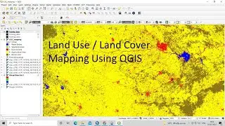
Land Use Land Cover Mapping in QGIS: • Land Use Land Cove (LULC) Mapping usi...
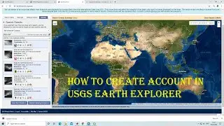
How to Download Landsat 9 Data set from USGS Earth Explorer: • How to Download Landsat 9 Data set fr...
Download Rainfall data: • Download rainfall data from CHRS Data...
Google earth Playlist : • Google Earth Hands On
ArcGIS : • ARC GIS
QGIS: • QGIS Lesson