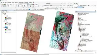
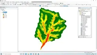
Profile Graph in ArcGIS Pro
Any Help Contact
Mr.Vikas [email protected]
WhatsApp Number= +918421031398
WhatsApp Chat:https://wa.me/+918421031398
Geotech GIS Training Institute is a prestigious remote sensing training institute in India. Our vision is to bring an opportunity to every aspirant who dreams of a successful remote sensing and GIS career.
We conduct the following courses:
Training Program Related to Project Work- Duration- 1 Month
Basics of Remote Sensing and GIS - Duration- 3 Months
Advance Diploma in Remote Sensing and GIS - Duration- 6 Months
PG Diploma in Remote Sensing and GIS- Duration- 1 Year
Master of Remote Sensing and GIS - Duration: 2 Years
5 Free Global DEM Data Sources – Digital Elevation Models: https://gisgeography.com/free-global-...
You May Like
How to Delineate Watershed using DEM data in ArcGIS Pro: • How to Delineate Watershed using DEM ...
What is Projection
ArcGIS Lesson-1 Arcgis for beginners, Introduction of GIS, Georeferencing and Projection: • ArcGIS Lesson-1 Arcgis for beginners,...
Population Density Data: https://www.census2011.co.in/census/s...
Diva GIS Shapefile: https://www.diva-gis.org/gdata
RS & GIS QA15- Download ready-to-use contour lines from Open DEM & Generate DEM from Contour: • RS & GIS QA15- Download ready-to-use ...
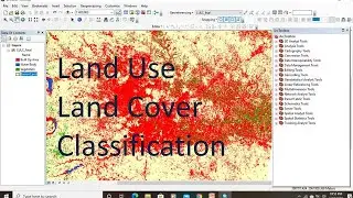
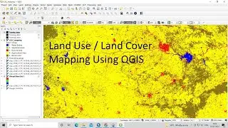
Land Use Land Cover Mapping in QGIS: • Land Use Land Cove (LULC) Mapping usi...
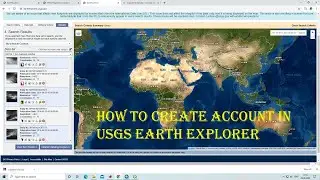
How to Download Landsat 9 Data set from USGS Earth Explorer: • How to Download Landsat 9 Data set fr...
Download Rainfall data: • Download rainfall data from CHRS Data...
Google earth Playlist: • Google Earth Hands On
ArcGIS: • ARC GIS
QGIS: • QGIS Lesson