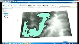
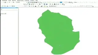
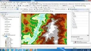
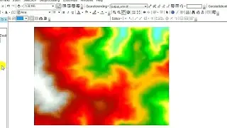
How to create Digital Elevation Model DEM from Google Earth DATA in ArcGIS
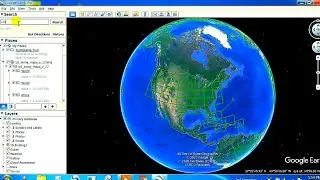
Open Google Earth Pro.
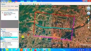
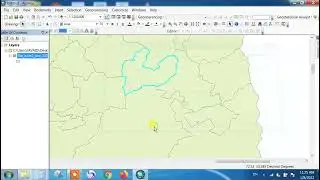
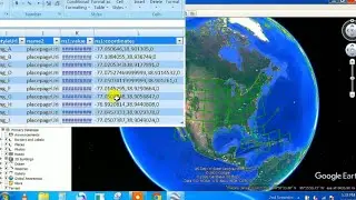
Draw a path or open an existing path.
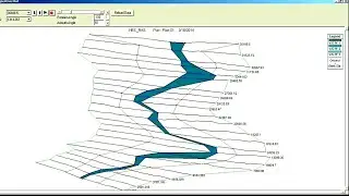
Click Edit. Show Elevation Profile.
An elevation profile will appear in the the lower half of the 3D Viewer. If your elevation measurement reads "0," make sure the terrain layer is turned on.
_________________________________________________________________
Away In A Manger by Audionautix is licensed under a Creative Commons Attribution license (https://creativecommons.org/licenses/...)
Artist: http://audionautix.com/
_________________________________________________________________