11 тысяч подписчиков
81 видео
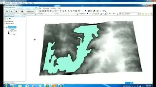
Making 30m DEM in ArcGIS
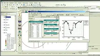
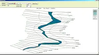
How to calculate River Cross Section using ArcGIS and HEC-RAS
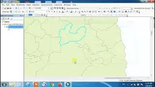
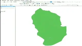
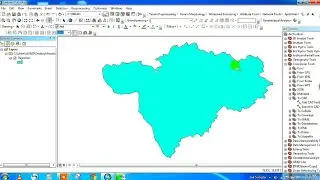
Shapefile Creation and Extract by Mask in ArcGIS
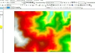
Heat Distribution Map in ArcGIS Developer
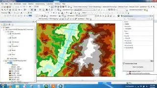
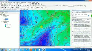
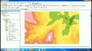
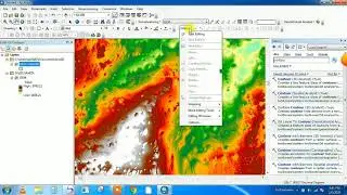
How do I make a contour map in Arcgis? || How do you convert DEM to contours in ArcGIS?
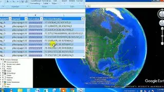
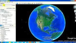
Google Earth Data into Excel
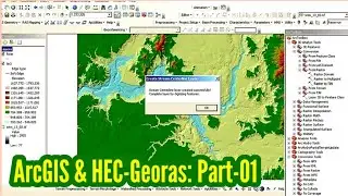
ArcGIS and Hec-Georas: River Cross Sections | HEC-RAS | Part 1 of 5
How to Merge two shapefiles in ArcGIS
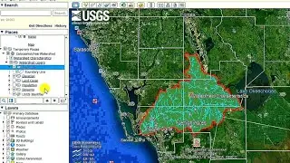
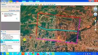
Watershed Delineation using Google Earth
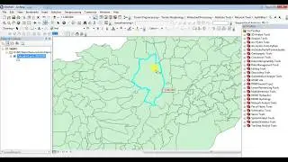
How to Clip Shapefile of Study Area in ArcGIS
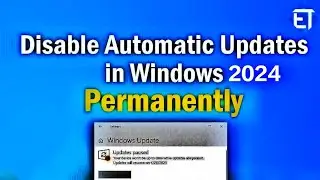
How to Disable Auto Updates on Window 7 or Window 10
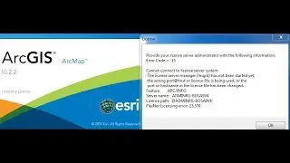
ArcGIS license server not running solution | Engineering times
How To Open a Locked Door | Engineering Times
Flood Simulation in ArcGIS | Animation in ArcGIS
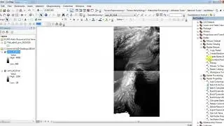
How to mosaic two or more Dem in ArcGIS
ArcGIS and Hec-Georas: River Cross Sections | HEC-RAS | Part 4 of 5
How to Create a Property Map with Google Earth 2020
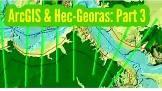
ArcGIS and Hec-Georas: River Cross Sections | HEC-RAS | Part 3 of 5
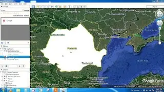
Import Google Earth Data into ArcGIS
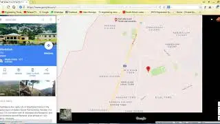
How to Extract Coordinates (Lat/Long) from Google Map
Importing Latitude & Longitude Coordinates from Excel to Google Earth | Data Visualization & Mapping
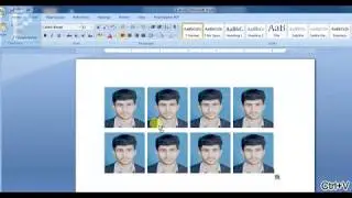
How to create passport size photo as in studio without photoshop
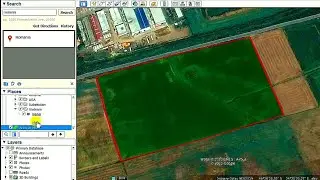
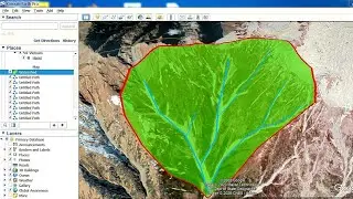
How to Calculate Catchment Area using Google Earth Pro 2020
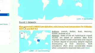
Download Corrected CORDEX Precipitation, Temperature Data: RCP 4.5 & RCP 8.5
ArcGIS and Hec-Georas: River Cross Sections | HEC-RAS | Part 5 of 5
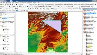
Georeference Google Earth Image in ArcGIS
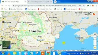
Acquiring Temperature/Rainfall Data for ArcGIS using GOOGLE MAP & GOOGLE only
Employees Registration In EOBI II Complete Tutorial.
ArcGIS and Hec-Georas: River Cross Sections | HEC-RAS | Part 2 of 5
How to Submit PR-02A Annual Return by an Employer to EOBI
How to Download SRTM 30 m DEM for ArcGIS (updated 2021) || Very easy method
Add Attribute Table to any Raster image in ArcGIS
How to create Digital Elevation Model DEM from Google Earth DATA in ArcGIS
Method 2: How to extract study area from dem in arcgis (Extract my Mask)
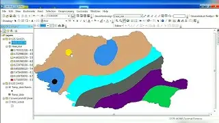
How to Download Readymade WaterShed Delineation for ArcGIS
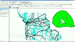
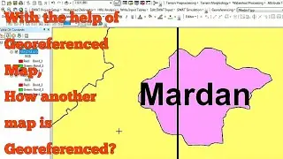
Georeferencing a Map with the help of another Georeferenced Map in ArcGIS
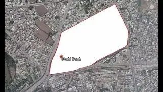
HOW TO CREATE SHAPEFILE OF ANY COUNTRY || Google earth into Arcgis
How to install arcgis pro || Engineering times
Shapefile Creation in Google Earth and Open it up in ArcGIS
How do I convert a CAD file to shapefile in ArcGIS?
How to Import CAD Drawing to Arc GIS as Shapefile