9 тысяч подписчиков
53 видео
How to do Clip and Buffer in Arc GIS / (Clip, Buffer and Multiple Ring Muffer)
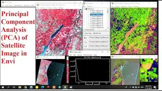
Principal Component Analysis (PCA) of Satellite Image in Envi
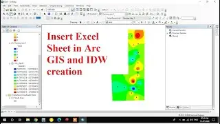
Importing Excel Data in Arc GIS/ How to Do interpolation (IDW) in Arc GIS
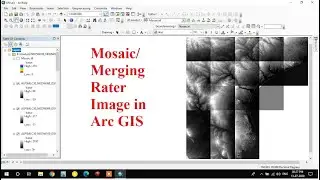
Mosaic Raster data sets in Arc GIS/ Merge Raster Data sets In Arc GIS
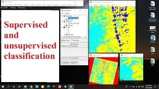
Supervised and unsupervised classification in Envi
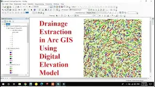
Drainage Extraction in Arc GIS using Digital Elevation Model (DEM)/ Automatic Drainage Extraction
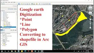
Digitization in Google Earth/ Point-Line-Polygon digitization in google Earth/ KML to Shapefile
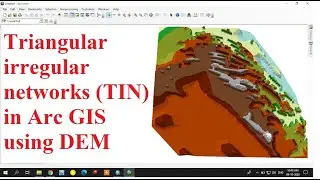
How to Create Triangular Irregular Network (TIN) in Arc GIS using DEM
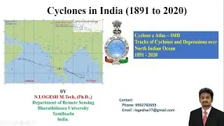
Cyclone Tracks Download for India/ e Atlas/ 1891 to 2020
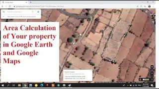
Area Calculation of Your Property in Google Earth and Google Map
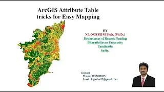
ArcGIS Attribute table Tricks for Easy Mapping
How to Create and Edit Shapefiles in Arc GIS
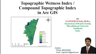
Topographic Wetness Index | Compound Topographic Index | Arc GIS
Layout preparation in Arc GIS and exporting in JPEG
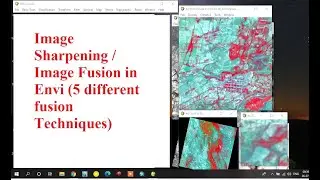
How to do Image Sharpening/ Image fusion/ Pan sharpening in Envi
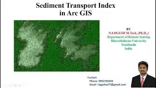
Sediment Transport Index in Arc GIS | STI
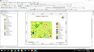
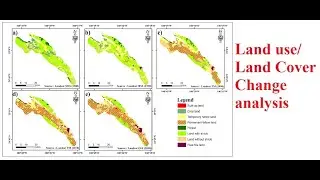
Landuse/Land cover change analysis using Landsat Data
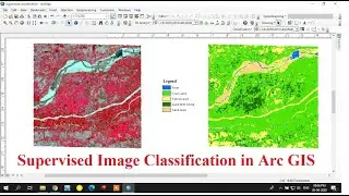
Supervised Image classification in Arc GIS
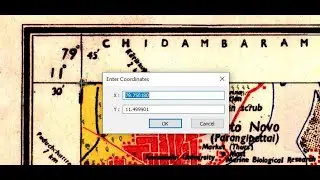
How to do Geo referencing the Toposheets in Arc GIS
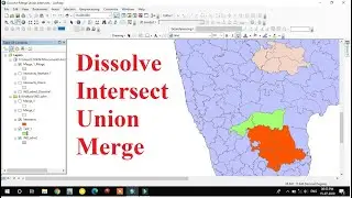
How to do Dissolve / Union / Intersect / Merge in Arc GIS (Geo processing)
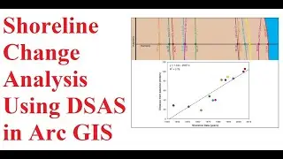
Shoreline Change Analysis Using DSAS in Arc GIS
How to Download Landsat satellite image / Earth explorer/ USGS
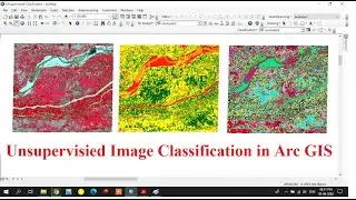
Unsupervised Classification using Arc GIS
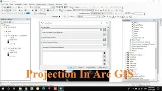
Projection of Raster and Vector files in Arc GIS (Spatial Referencing)
Flood Susceptibility Mapping/Flood Prone areas Mapping/Flood Risk Zone Mapping in Arc GIS
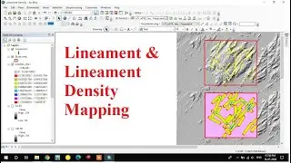
Lineament and Lineament Density Map Preparation in Arc GIS
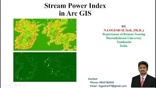
Stream Power Index in Arc GIS
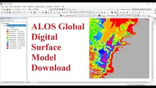
ALOS Global Digital Surface Model Download
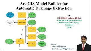
Arc GIS Model Builder for Automatic Drainage Extraction| Model Builder
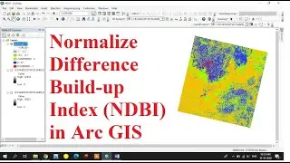
How to Create Normalize Difference Build-Up Index (NDBI) in Arc GIS
Topographic Roughness Index | Topographic Ruggedness Index | Arc GIS
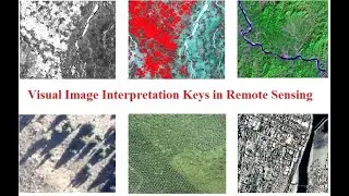
Visual Image Interpretation Keys in Remote Sensing