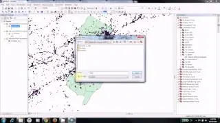
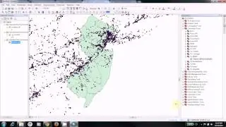
Extract Data in Zipped Folders (Unzip Files)
Spatial data is often downloaded to your computer in a type of compressed format. A typical compression format is .zip. Before you can work with these files, they need to be unzipped. Right-click to extract all files within zipped folders in order to work with them. In this video, facility, shapefile, and county boundary data are extracted using Windows Explorer.