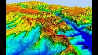
Visualize DEM in 3D ll Raster To TIN ll DEM from ArcGIS into ArcScene
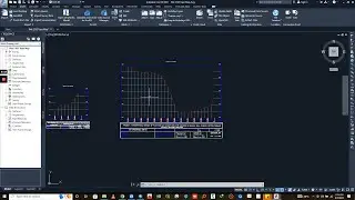
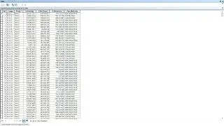
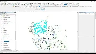
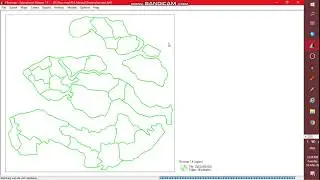
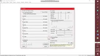
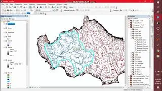
this tutorial will guide on how you can show digital elevation model in three dimensional(3D) so that you can assume the further analysis of your terrain. the conversion from raster to TIN is done in ArcGIS and then the visualization is done in the ArcScene