550 подписчиков
36 видео
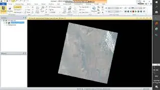
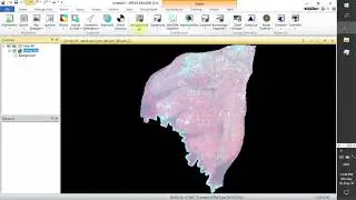
how to do layer stacking using landsat 8 image in Erdas imagine 2014
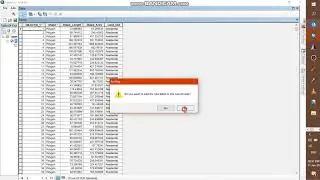
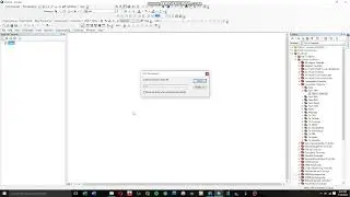
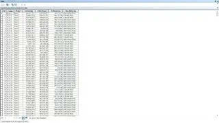
How to Export attribute table from ArcGIS to Excel sheet l The Easiest export
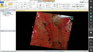
How to make resolution merge in ERDAS using Landsat Image
Change Detection Using Matrix Union in ERDAS Imagine 2014 ll Part I
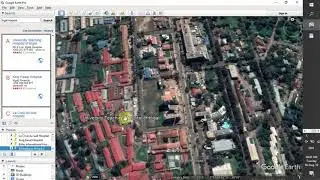
Easiest way of adding location on Google Maps / add Store, Restaurant, school on google maps
checking metadata of layer stack and landsat image in Erdas imagine 2014
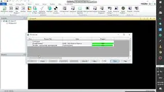
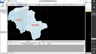
Mosaicking Landsat images in Erdas imagine 2014
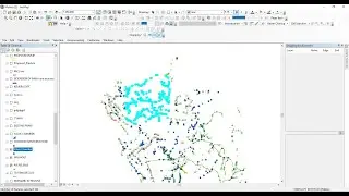
Convert GPS data into shapefile using ArcMap || the Easiest Method ||
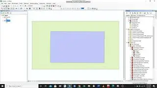
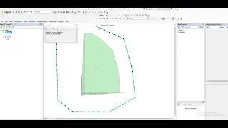
How to remove Intersection Part of Feature Classes without Editing Tool || The Easiest Approach
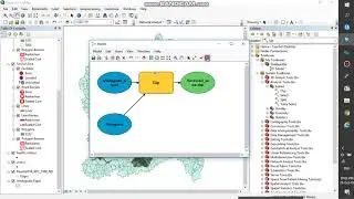
How to use ArcGIS ModelBuilder
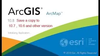
How to save ArcMap (MXD) Version to Lower Version
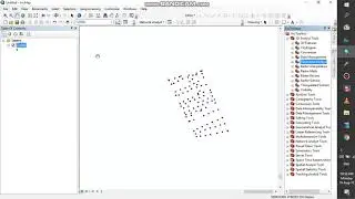
Adding surface information to XY data using ArcGis
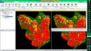
NDVI Calculation using Erdas imagine 2014
Easy way to extract coordinates from Google Earth to Excel with updated Elevation
Easiest way of Converting Google earth points in kml format automatically to Arcmap as shapefile
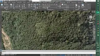
How to connect Orthophoto, Raster file or Surface connection in AutoCAD Civil 3D
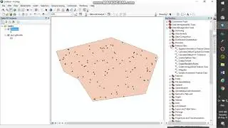
Adding XYZ coordinates to Random points using ArcGIS
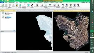
How to make subset image in Erdas imagine 2014 using landsat image
How to Import Excel sheet into ArcMap as Shapefile l The Easiest Import
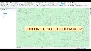
Snapping Tool in ArcMap ll How to add snap when editing in ArcMap
How to Select only one layer and Undo "Make this the only Selectable layer" mode in ArcMap.
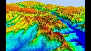
Visualize DEM in 3D ll Raster To TIN ll DEM from ArcGIS into ArcScene
How to Add (additional) vertices along line or polygon features ll Densify
How to Export Attribute Table from QGIS to Excel Sheet I The Easiest Export
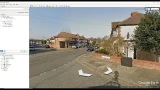
The Easiest Way of Importing Shapefiles into Google Earth Without Converting into KML File.
Shading area maps using Flowmap
Draw Labels using Flowmap