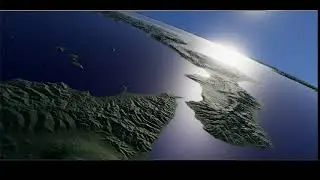
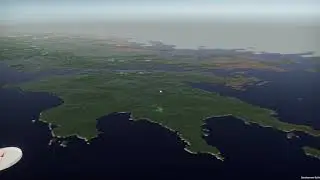
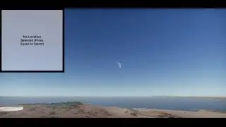
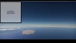
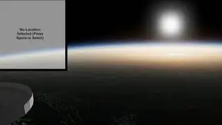
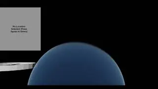
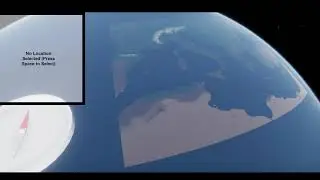
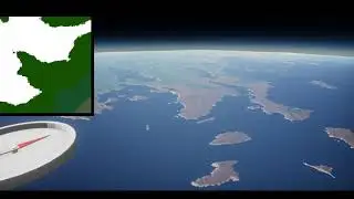
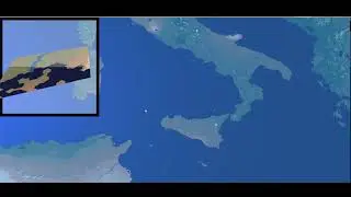
Preview of terrain rendering to be used in a game I'm making
This is a preview of a level select screen that will be used in a game I'm currently working on. This is a very early draft; terrain mipmaps are still poorly optimized and take too long to load at the moment.
Terrain height, the Earth's radius, and the planet's curvature are all to scale (using a simplified spherical representation of the Earth).
Elevation data taken from USGS's GMTED2010 (resolution 7.5 arcseconds, or roughly 200 meters at 30 degrees north)
Colors generated using pre-industrial biomes predicted using rainfall and temperature data originally located at WorldClim.org, using a model by Matthew R. Fisher's Environmental Biology
Basically everything else done in unity.
https://www.usgs.gov/centers/eros/sci...
http://worldclim.org
https://openoregon.pressbooks.pub/env...