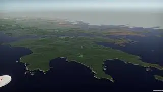
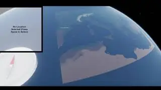
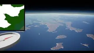
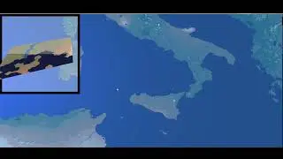
Editing water pixels for a terrain renderer
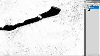
The terrain renderer I'm building is based on real data, but some data such as the location and shape of lakes is much lower resolution than the topography data I have. To fix this, I calculated the gradient of the topographic data and used this to manually edit where lakes appear, assuming that large flat areas in temperate areas correspond to lakes.