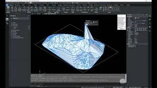
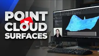
SurveyTools for BricsCAD - Point Cloud Surfaces
We understand the challenges that surveyors face when dealing with complex terrain and accurately representing precise topographic data. One of the highlights of this series has been the simplicity of the surfacing workflows. Today’s dataset is no different and demonstrates the ease of working with point cloud datasets in SurveyTools™ for BricsCAD®.
Learn More
https://www.microsurvey.com/products/...
@BricsysOfficial
#Bricsys #BricsCAD #BricsCADforCivilEngineering