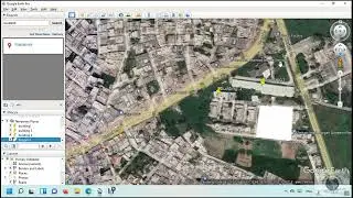
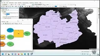
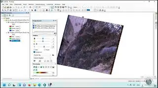
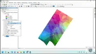
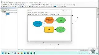
How to Map and Monitor flood using the google earth engine
In this tutorial, we will learn
How to Map and Monitor flood using the google earth engine
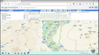
Flood Mapping and Monitoring using google earth engine
https://code.earthengine.google.com/7...
In this tutorial, we will learn
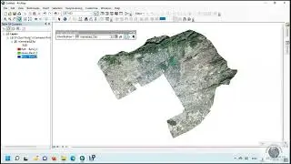
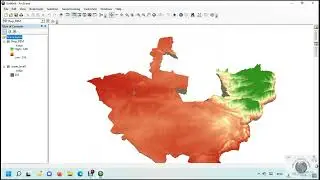
How to Map and Monitor flood using the google earth engine
Flood Mapping and Monitoring using google earth engine
https://code.earthengine.google.com/7...