31818 подписчиков
57 видео
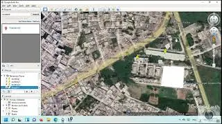
How to digitize points lines and polygons on google earth pro
How to clip raster using ArcGIS model builder
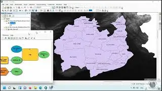
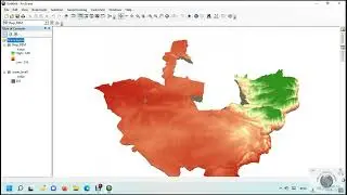
How to map flood and monitor damaged settlements in ArcGIS
How to perform principal component analysis in ArcGIS
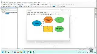
How to project multiple rasters using ArcGIS model builder
How to select multiple features using select by attribute in ArcGIS
How to Auto Boundary of raster images in ArcGIS
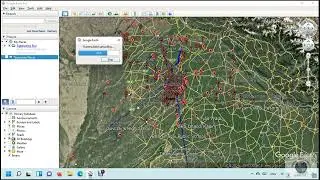
How to find latitude & longitude from address using google earth pro (geocoding)
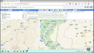
How to Map and Monitor flood using the google earth engine
How to perform Maximum Likelihood Supervise classification of satellite images using ArcGIS
How to animate flood in ArcGIS
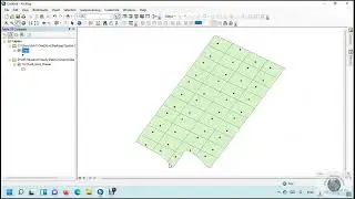
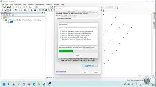
How to Interpolate point data using ArcGIS model builder
How to calculate field using field calculator in ArcGIS
How to convert kml or kmz to shapefile in ArcGIS
How to convert shapefile to kml or kmz in ArcGIS
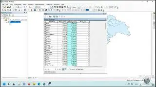
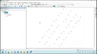
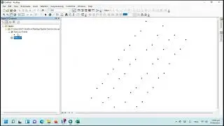
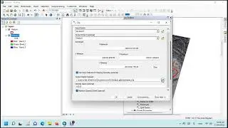
How to convert excel to shapefile in ArcGIS
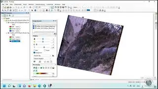
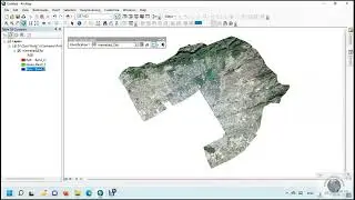
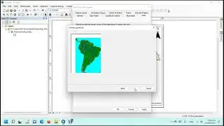
How to Clip Raster in ArcGIS
How to export maps in the layout view using ArcMap
How to interpolate point data with environment setting in ArcGIS
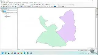
How to intersect polygon shapefiles in ArcGIS
How to join and relate attributes in ArcGIS
How to Clip Vector in ArcGIS
How to convert Contour to TIN in ArcGIS
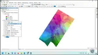
How to convert raster to polygon in ArcGIS