This video is part of a series of basic ArcGIS tutorial videos. This video shows how to open the shapefile in ArcMap
Freddie Dredd - Endless Sea (speed up)
How To Build A Gaming PC 2023! Budget Build with AMD RX 6600!
The Cycle: Frontier | Официальный трейлер 2022
Приколы на дороге! 2018ГАИ Авто приколы! Подборка приколов на дороге! Д
диалог "Россия и Франция сегодня" В1/ В2
🐇🕳️"This is NOT my dimension!" - (Possible Dimensional Switch)...DTRH Ep. 72
airforce 2023 expected cutoff by mayanksir
РАВШАН С ПАЦАНАМИ СОБРАЛИСЬ ДЛЯ ИГРЫ В ПЕЙНТБОЛ! | СТАЯ ПРОТИВ КОМАНДЫ ГУАКАМОЛЕ
Webinar Series GEO-PW: Seri Pembangunan Wilayah IKN
How to Download Level 2 Landsat 8 OLI/TIRS Imagery from Earthexplorer USGS
Using Google My Maps as a Geotagging Questionnaire and Field Survey Application in Mobile Phone
Creating Contour From Digital Elevation Model (DEM) in ArcGIS
Download Free High Resolution Digital Elevation Model DEM from DEMNAS BIG
Importing CAD file to ArcMap and Converting to Shapefile
Layouting a Map in ArcGIS (Part 2 Simple Layout and Exporting Map)
Layouting a Map in ArcGIS (Part 1 Preparing the Sheet dan Grids)
Displaying Charts From Statistical Data on Map in ArcGIS
Labeling / Showing Feature Label in ArcGIS
Change The Look of The Map / Symbology in ArcGIS (Part 2)
Simple Multi Criteria Analysis with Select By Attribute in ArcGIS
Deleting Rows or Columns in the ArcGIS Attribute Table
Join and Relates Excel File with Shapefile in ArcGIS
Managing attributes Table and Calculate Area in ArcGIS
Cut Polygon Features in ArcGIS
Digitizing Polygon in ArcGIS
Creating Polygon Shapefile in ArcGIS
Open Raster Data or Satellite Imagery in ArcGIS
Change the look of the map / Symbology in ArcGIS
Compiling the Shapefile layers on the ArcMap Worksheet
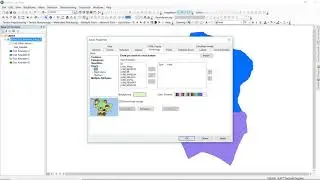
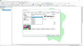
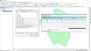
Open Spatial Data / Shapefile in ArcGIS
Download High Resolution Satellite Imagery in Terra Incognita
Shoreline Change Analysis Using Digital Shoreline Analysis System DSAS - USGS