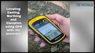
Garmin Etrex 10 | GPS
Welcome to The Educational World..!
In today's video, we will see some basic functions of GPS device. Model of GPS, which i am using is Garmin Etrex 10.
What is a GPS ?
A satellite navigation device, colloquially called a GPS receiver, or simply a GPS, is a device that is capable of receiving information from GNSS satellites and then to calculate the device's geographical position.
To watch Civil 3D tutorials, the links are below:
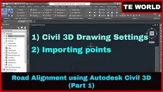
Part 1) How to import points in Civil 3D
• How to import points from Google Earth Pro...
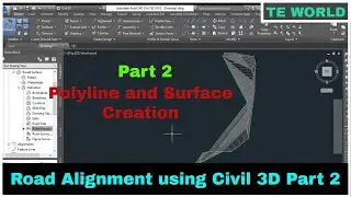
Part 2) How to create polyline and surface from imported points in Civil 3D.
• Polyline and Surface Creation in Civil 3D ...
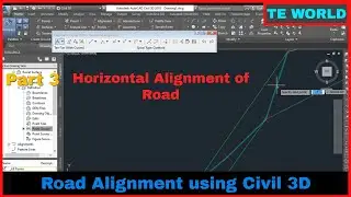
Part 3) How to draw horizontal alignment in Civil 3D | Road Alignment Part-3
• How to draw horizontal alignment in Civil ...
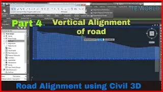
Part 4) Vertical Alignment Creation in Civil 3D | Road design Part-4
• Vertical Alignment Creation in Civil 3D | ...
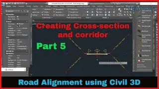
Part 5) Road's Cross-section and Corridor Creation in Civil 3D | Road design Part-5
• Road's Cross-section and Corridor Creation...
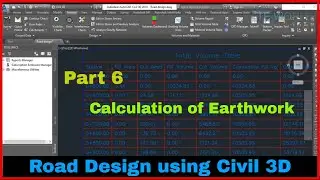
Part 6) How to calculate cut and fill volume in Civil 3D | Road Design Part 6
• How to calculate cut and fill volume in Ci...
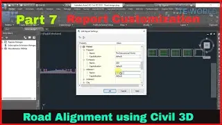
Part 7)Generating and editing reports in Civil 3D | Road Design Part 7
• Generating and editing reports in Civil 3D...
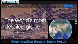
If you don't know how to extract points from google earth, see video from the link below;
• How to extract coordinates (Easting, North...
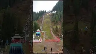
#Khanaspur#Ayubia#GPS