Pteryx UAV photo mapping
After completing testing campaign and delivering the first units we have rushed to publish a short documentary.
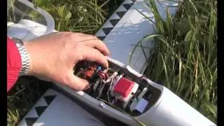
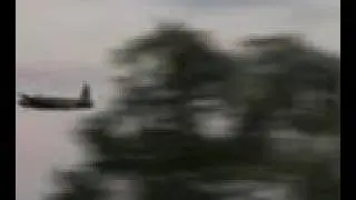
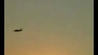
Pteryx is an UAV designed for civilian use, together with its mission-oriented autopilot.
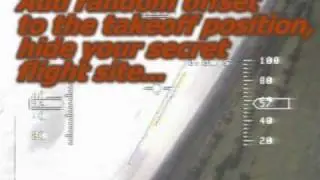
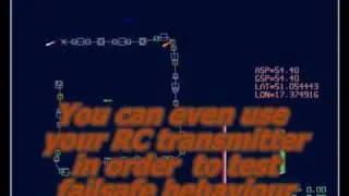
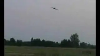
Our focus is in reliable operation and single button interface. Basically you have to put UAV on the rails, select missions with rotary knobs, hold takeoff button until the autopilot completes propulsion test, pull the bungee lock.
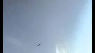
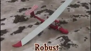
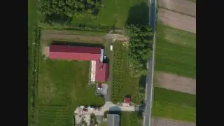
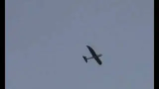
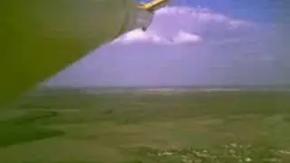
Pteryx can lift 800g compact digital SLR in roll-stabilised head, providing superior quality photography unachievable by other means: Better flying precision than manned crafts, inaudible electric propulsion, very few parts to break (only 2 control surfaces, folding propeller).
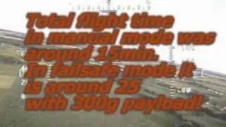
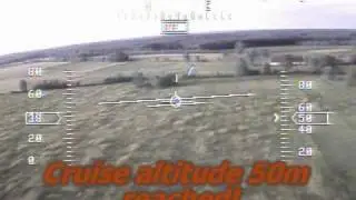
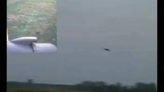
Endurance up to 120min, parachute landing, protected propeller. Possible takeoff from hand and manual piloting.
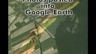
By law, limited to visual range (some 500m) what yields 1km x 1km map. Using pre-programmed missions you can fly several times per day in different location, fitting within strict law requirements while obtaining the most actual maps of superior resolution.
visit pteryx.eu fot more details