127 тысяч подписчиков
334 видео
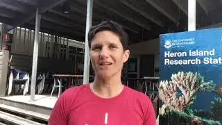
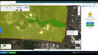
How much cuke poop have you stepped on?
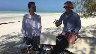
Drones and AI: reefs from above podcast
Discovering inclusivity in remote sensing: leaving no one behind
How to structure and format a scientific report in word
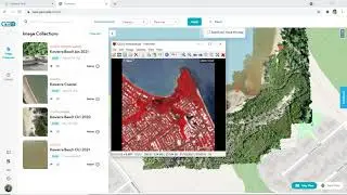
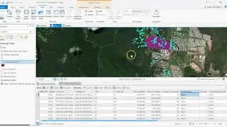
Collaborative coral bleaching mapping with drones and geospatial tech
Drones are a valuable piece of the Earth observation puzzle
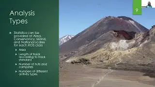
How to map the recreation opportunity spectrum in NZ
New paper alert - discovering inclusivity in remote sensing
ESA living planet symposium presentation, Bonn Germany
Loading Sentinel-2 data into Google Earth Engine
Loading Landsat 8 data into Google Earth Engine
Creating time series animations with Sentinel data
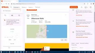
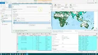
Importing Strava Data into ArcGIS Pro
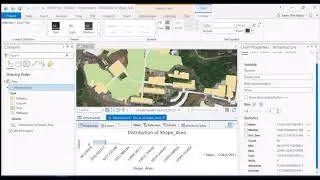
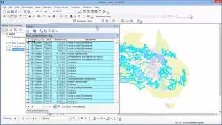
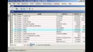
Using the Attribute Table in ArcGIS Pro to Extract Statistics
How to Create Attribute Queries in ArcGIS
Select By Attributes Query Builder in ArcGIS Pro
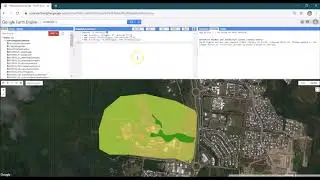
Map My School for Kids with Google Earth Engine
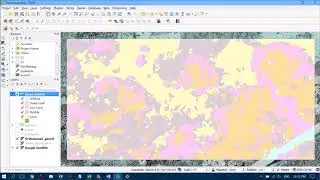
Heron Reef Habitats - Hyperspectral - A Dataset A Day
EduDrone 2019 Session 4 In Review
Using the Tello EDU App to take photos and code with the Tello Drone
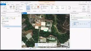
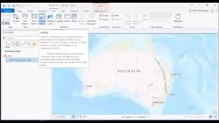
Getting Started with ArcGIS Pro
Filling in the Digitizing Gaps Using the ArcGIS Pro Erase Tool
Importing CSV Text Files with XY Data into ArcGIS Pro
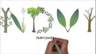
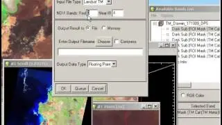
NDVI - Normalized Difference Vegetation Index
The Distinction Between Remote Sensing and GIS
Welcome to She Maps
She Maps Online Learning
She Maps - A Celebration of 2019
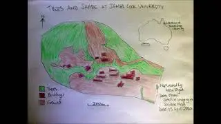
Map My School for Kids Using Handdrawn Cartography
Ep. 8 | Get ready to fly
How do we use drones to map coral reefs?
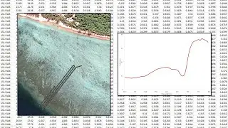
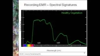
Spectral Signatures
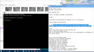
Extracting Metadata from Photos Using EXIFTool
Spectral signatures
Environmental change - normalised burn ratio
EduDrone 2019 Session 1 Upcoming Speakers
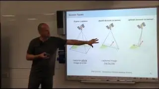
Sensor geometric characteristics
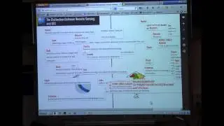
Karen Joyce Remote Sensing Education Resources
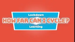
How far can I cycle within a 10km lockdown bubble?
BONUS: Tips for teachers
Combining an Attribute Query and Intersect in ArcGIS Pro
How We're Taking STEM into the Next Decade
EduDrone 2019 Session 6 In Review
Creating a Map Layout in QGIS
Creating a Map Layout in ArcGIS
Creating and Editing Feature Classes in ArcGIS Pro
Locating and Zooming to Features in ArcGIS
Creating Feature Classes in ArcGIS Pro
Understanding Image Statistics in the Context of Radiometric and Atmospheric Correction
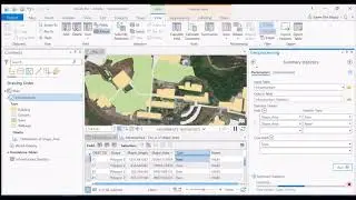
Summarizing Attribute Tables in ArcGIS Pro
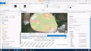
Calculating Percentages within an ArcGIS Pro Attribute Table
Adding the Microdrone Pre flight Checklist to Epicollect5
What Do Geographers and Geospatial Scientists Do All Day?
Creating Road Polygons from Lines - Using the Buffer Tool in ArcGIS Pro
Adding Drone Mosiacs into ArcGIS Pro
Propellers - Flying Edward Scissorhands
Map My School for Kids with ScribbleMaps