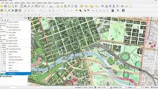
Creating a 3d view in QGIS using HCMGIS, Lat Lon Tools, Open Topography DEM Downloader plugins
0:00 Introduction
0:25 Installing Plugins
2:21 Creating a Base layer with HCMGIS Plugin
3:00 Finding the Location
3:20 Finding Location using LATLON tools
4:30 Exporting Hight resolution Image From Google Satellite
6:40 Creating DEM Image Using Open topography DEM downloader
8:33 Setting CRS System
8:56 Creating HillShade raster Analysis
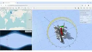
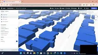
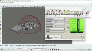
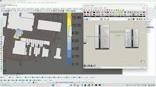
10:00 Creating A 3d View of the AOI
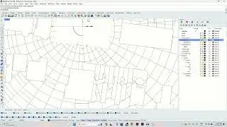
12:26 Overlaying Vector Layers in 3d View