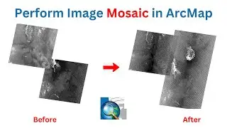
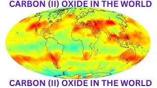
Perform Image Mosaic in ArcMap.
In this video, I have performed an image mosaic using ArcMap. It is a simple explanation that will make you understand all the concepts needed to come up with an image that is a mosaic and can be used for further analysis.
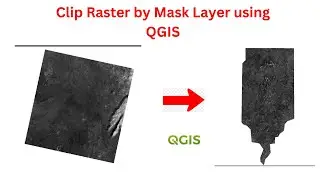
video to clip extent: • Clip Raster by Mask Layer in QGIS #qgis


![Border crossing illegally but in star wars simulator - Star Wars Coruscant RP [Roblox]](https://images.mixrolikus.cc/video/wh2DP3EFMCg)