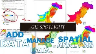
Climate Mapping🌐Case Study: Analyzing Climate Data and Trends
#GIS_spotlight
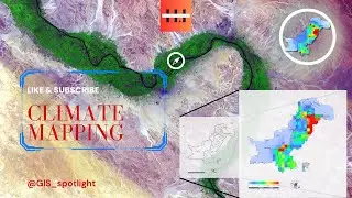
🌍 Explore Climate Mapping in ArcGIS 10.8! 🗺️
🎥 Embark on an exhilarating journey into the world of climate mapping! Our Analysis on Climate and Trends on latest YouTube tutorial empowers you to unlock the full potential of ArcGIS, becoming a skilled mapper of Earth's climate patterns.
🌐 Unleash your inner explorer as we delve into the captivating realm of data visualization. Master the analysis of temperature, rainfall, and other crucial climate variables, painting a vivid picture of our ever-changing planet.
🔍 Our straightforward instructions and expert tips ensure seamless navigation through ArcGIS. Discover hidden gems of knowledge that fuel your passion for environmental science.
📈 Whether you're a seasoned GIS enthusiast or a curious learner with a bachelor's degree, this tutorial serves as your gateway to mastering climate mapping in ArcGIS. Join our dynamic community of learners and embark on an unforgettable adventure!@Geoaiquests
📺 Don't miss out on this opportunity to expand your GIS skillset and contribute to a deeper understanding of our planet's climate systems. Watch now, like, and subscribe for more empowering tutorials that create a positive impact on our world!
#climatechange #arcgis #datavisualization #environmentalscience #gis #learnwithus #youtubetutorial #tutorial #mapping
------------------------------------------------------------------------------------------------------------------------------------------------------
Odyssey's End by Jonas Fill / jayhifive
Creative Commons — Attribution 3.0 Unported — CC BY 3.0
Free Download / Stream: https://bit.ly/42MlILm
Music promoted by Audio Library • Odyssey's End – Jonas Fill (No Copyright M...
✤Videos Links✤
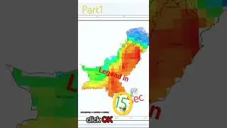
Learn to Add | Horizontal Legend in ArcGIS #legend #map #tutorial
• Learn to Add | Horizontal Legend in ArcGIS...
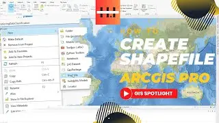
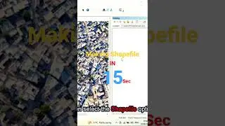
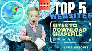
Make Your Gis Projects Easier With These 5 Great Shapefile Download Sites!
• 5 Of The Best Places To Find Shapefiles Fo...
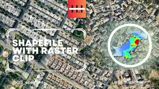
ArcGIS Raster Clipping Made Easy:
• ArcGIS Raster Clipping Made Easy#raster #a...
How to create MXD in ArcGIS
• How to create MXD in ArcGIS #tutorial #arcgis
How to export map in ArcGIS
• How to export map in ArcGIS #arcgis #tutor...
Usgs Dataset: The Best way to Download
• Usgs Datasets: The Best Way To Download #u...
How to create map package in ArcGIS
• how to create map package in ArcGIS #learn...
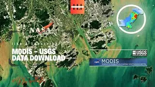
Get The Latest Giovanni Data Straight From NASA
• Get The Latest Giovanni Data Straight From...
============================================================================
✤Keywords✤
gis, remote sensing, spatial data, geospatial, mapping, arcgis, qgis, cartography, geotech, giscience, gisday, gischat, data visualization, geography, geomatics, gis professional, lidar, rsdata, spatial analysis, geodata, openstreetmap, spatial thinking, gis research, satellite imagery, geospatial technology, gis jobs, gis community, webgis, gis software, gis training, geospatial analytics, gis mapping, gisday2023, gis workshop, gis conference, geoai, gis projects, gis developer, gis data management, rsapplications, spatial modelling, gis for environment, gis for urban planning, gis for public health, geobigdata, gis for conservation, gis for climate change, gis for natural resources, remote sensing applications, gis for disaster management.
✤Note✤
Whether you're a GIS professional, a student, or an enthusiast, our videos cater to all skill levels. Join our channel, stay updated with the latest ArcGIS features, and gain the confidence to tackle challenges. Subscribe @GIS_spotlight now and embark on a journey to become an ArcGIS expert!
🔗Links🔗
@facebookapp: / gisbasic
@instagram: / gis_sptlight
@YouTube: @Geoaiquests