Why and how to use Geographic Information Systems in International Baccalaureate Instruction (IB)
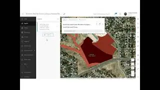
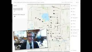
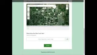
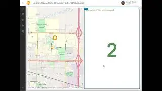
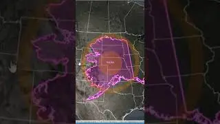
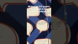
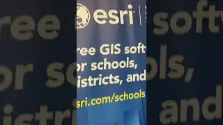
Why and how to use Geographic Information Systems in International Baccalaureate Instruction (IB). This video provides resources and proven examples tested with students and faculty. Educational benefits in teaching and learning with GIS include engaged students empowered with tools used in the workplace, data fluency, field work, connection to community issues, solving problems, inquiry, asking thoughtful questions, critical thinking, spatial thinking, and more. Students use web mapping tools, multimedia story maps, spatial analysis tools, field data collection tools, and others to investigate themes ranging from natural hazards to local businesses, from population change to habitat, from climate to watersheds, and many more, with these powerful tools and data layers. Resources include www.arcgis.com and storymaps.arcgis.com.
![[Raw, Boring] Four Random Landings](https://images.mixrolikus.cc/video/wacFCUJeWzc)