11 тысяч подписчиков
52 видео
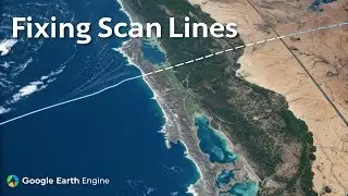
Remove Scan Lines and Clouds from Satellite Images in GEE
Python Geocoding Tutorial | Latitude and Longitude
Google Earth Engine Dark Mode.
Create Leaflet Map to Draw, Edit and Delete Features.
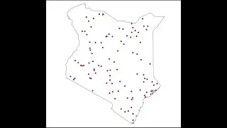
How to Generate Random Points and Assign Raster Values in QGIS.
How To Publish Layer Styles To Geoserver | QGIS
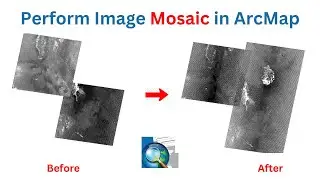
Perform Image Mosaic in ArcMap.
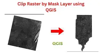
Clip Raster by Mask Layer in QGIS
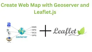
2. Geoserver: Creating Web Map with GeoServer and Leaflet.js
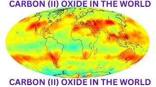
Mapping Carbon Monoxide (CO) Concentration Using Google Earth Engine.
1. Geoserver: Publishing Shapefiles To Geoserver.
Convert Comma Separated Values(csv) To Shapefile in QGIS || CORRECTED
Publish Shapefiles To Postgres Database: Geospatial Databases
Extract Image from Google Earth Pro to ArcMap | Geo-reference | Digitize
Multiplication Of Complex Numbers 🔥
GIS With R Programming: Create a web Map || NEW VIDEO
How To Change PgAdmin4 Light Theme To Dark Theme in 2 mins.
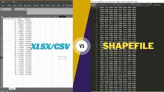
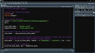
How to Convert XLSX to Shapefile using QGIS and R programming
Area of right angled triangle 😎